A Long Day on the Eastside (aren't they all)
A creative linkup and some thoughts on ego in the mountains
First blog post! Let’s see how this goes…🤞

The backstory
The first time
A few months ago, I found myself in an uncomfortable yet familiar position: rolling into the Alabama Hills late at night. It was my third time in the area, all of which being a staging ground for adventures up on Mt. Whitney. My first experience with Whitney was at the beginning of my sophomore year in college. I was driving to SLO from home and wanted to experience the beautiful Owens Valley for the first time. On my way out, I ventured up Boundary and Montgomery peaks on the northern tinge of the White mountains. This was my first experience near the Eastern Sierra, and I was excited to get my first glimpses of the famous mountain corridor.


The boundary peak wilderness is pretty remote, and, like the rest of the region, is more comfortable with a burly high clearance vehicle—not necessarily my Mom’s 2008 Toyota Highlander. Nonetheless, after a successful day out, I drove across the border into the Owens valley, deciding to stage myself for an attempt at Mt. Pinchot the following morning.
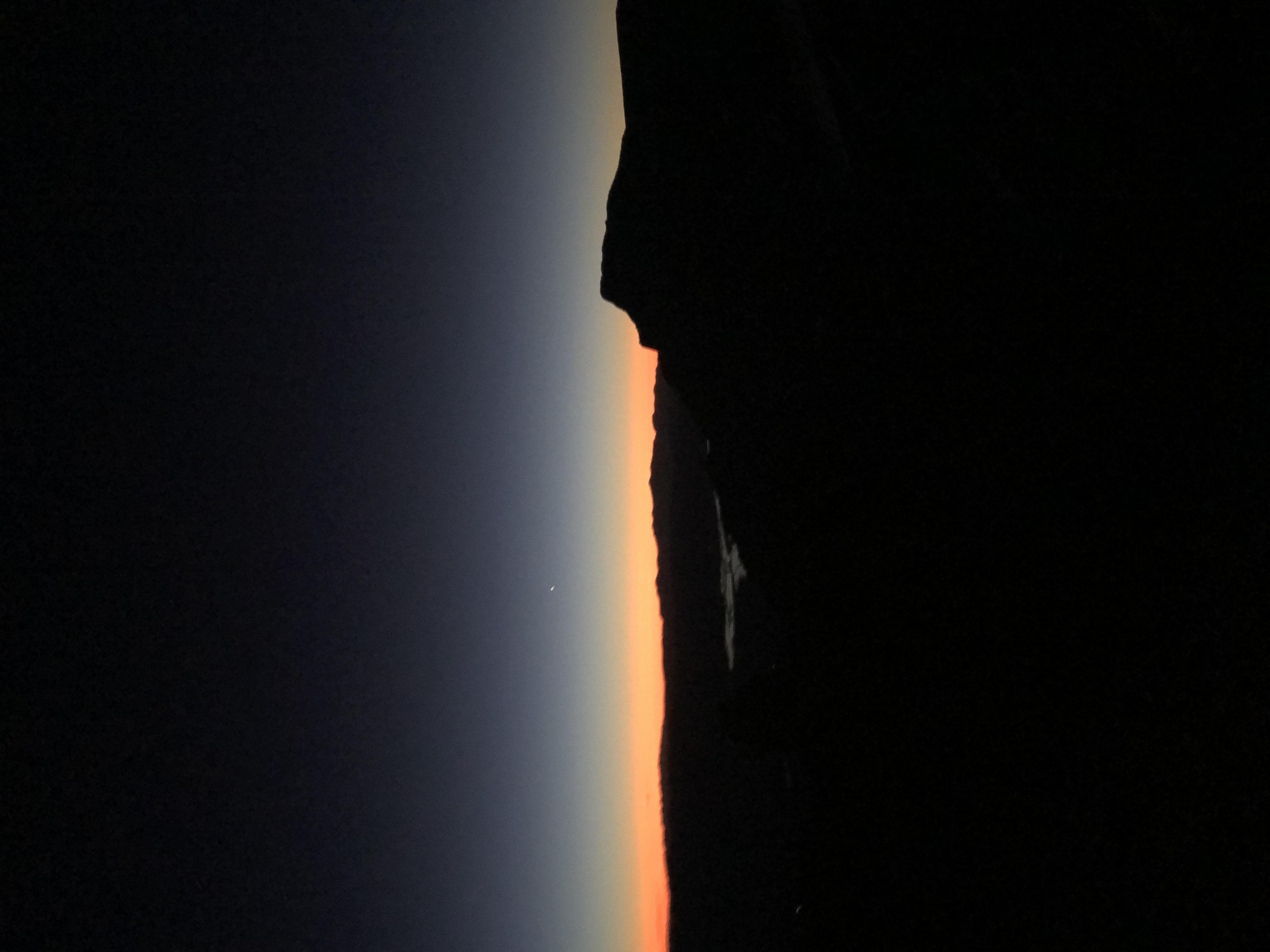
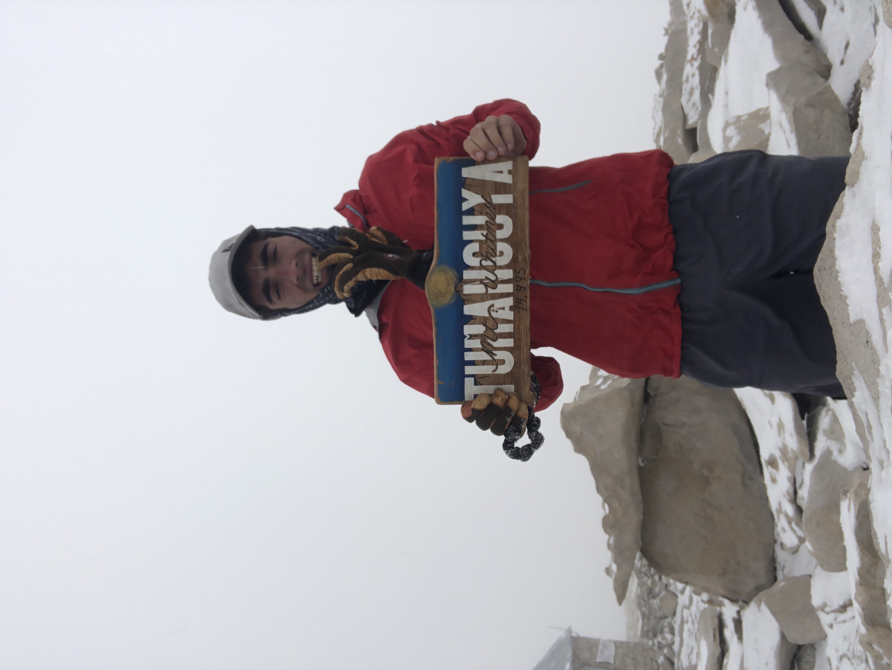
I ended up sleeping on the road headed up to Taboose Pass, but the road was rather gnarly, and I couldn’t drive to the trailhead. Moreover, a rain/snow mix the following morning dampered my ambitions, and I made a spontanteous decision to re-route my day towards the Whitney region. After driving the hour to Lone Pine, I rolled into the ranger station at around 10 in the morning. With most Whitney parties starting before the sun, I got some considerable warnings from the ranger as I went to purchase my day use permit! I don’t typically do well when it comes to listening to authority figures, so I continued up to the Whitney portal, beginning my hike up the standard route at around 2 pm. The route was developed in 1904 with the use of mules, which made for efficient travel, and I was even almost able to beat the dark! I was a bit worried about crowds, but some adverse weather meant I was mostly rolling solo. I ended up pushing for both Whitney and Mt. Muir, resulting in the summit of two 14ers and four 13(+)ers during the weekend…which is meaningless, but more on that later.

Heading back
After a fun adventure on my way out to school, I returned to Whitney with the Cal Poly Alpine Club. I was quite excited to tag along, mainly because the group was attempting the Mountaineer’s Route, which branches off to the north fork of lone pine creek, rather than follow lone pine creek itself—which is what I had done previously on the “soft and succulent route.”

The route is a more direct and steep variation, and has a few somewhat technical components, although, the greatest hazard is probably rock fall, rather than technical demand. The route generally adheres straight up the drainage until Iceberg Lake, where it then ascends the main couloir.

The main couloir is not super tricky per-se, although it’s bascially a huge funnel for rocks to smash you. With helmets on, we trudged up it as quick as we could. From the top of the couloir, there is a steep and short chute up to the summit plateau. Some group members elected to traverse around to the west side of Whitney. However, with some care to avoid the ice in the chute, I decided to ascend the direct way with a few others, rendezvousing with the rest of the group at the summit shelter. With a happy crew, we exited via the standard route, the seemingly infinite number of switchbacks freshly burned in my memory ![]()


A Romantic Line
With a few successful adventures on Whitney, a year later I had ambitions for a different vision. I found myself driving back to Lone Pine with the Alpine Club, although, this time Whitney was not the focus.


The Whitney buttress is home to one of the best views in the Sierra. This is largely due to the extensive cliffs that lift the Whitney ridge from the eastern slopes. On the west side, the ancient Kern river valley carves the view out to the Kaweah and the greater King’s Canyon. This west side is quite challenging to access, and is rarely traveled with the exception of thru-hikers. One of the methods for accessing this zone is via the JMT, which is one of the more popular thru-hikes in the country, and is often regarded to be one of the best parts of the PCT. The JMT runs from Mt. Whitney and ends in Yosemite valley, traversing into the Whitney creek drainage (which then feeds into the Kern) directly south of Mt. Muir. As such, during my two days on Whitney, the JMT began to accumulate a serious pull.
What is out there in the deep(er) Sierra?
Turns out, there’s a heck of a whole lot!
With the gravity of the deep Sierra growing, I started to brainstorm potential lines that I could do to dip my toes in without having to spend the night. Backpacking is an incredibly wonderful experience and is worth pursuing in its own right. However, once you make the decision to spend the night in the mountains, your all-up weight basically doubles. I suppose I could have gone the emergency blanket/ multiple layer route, but that kinda sucks. If you’re gonna camp in the mountains, you might as well carry the weight to be comfortable.
Anyways, I typically enjoy fast and relatively unencumbered travel through the mountains, which restricted my plans to be around 20 hours at the maximum. Because I was responsible for driving a few Alpine Club members to the Whitney Portal trailhead, I knew I had to both start and finish there. That meant that if I wanted to go for a ridge linkup, I would have to either push north or south.
It was a hard decision, with the imposing Mt. Langley begging for a whitney linkup (maybe this will come in the future). Yet, heading south wouldn’t be the continuous linkup I was hoping for, and the aesthetics of Russell drew my imagination north…
The key was the Wallace Lakes trail, which runs from the PCT to Wallace lake basin. The trail is a unique East-West cut in the eastern Sierra, and opened the door for a cool trail linkup.

This basin is incredibly remote, largely because the trail approach is from Shepherd Pass, which is a lengthy backpacking trip. The other logical accessing point is from the Russell-Carillon pass, which requires some light scrambling. With the PCT-JMT connection, I decided that I wanted to get into this zone!

Blog in Progress, you're too early!