Rediscovering the Tetons
Some classics in one of America's most famous national parks
The Rediscovery (Mt. Teewinot)
I first came to the Grand Teton National Park in 6th(?) grade for a school trip to the Teton Science School. It was a relatively uneventful, short lived trip, with mostly educational excursions around the satellite town of Wilson. Five years later I returned for a cross-country ski race in the same area, but still had not yet explored the high mountains of the Tetons.
After a dissapointing end to my Junior year of college without an internship offer, I decided I would head up to Afton to see if Aviat Aircraft was offering any work. However, they already had interns for the summer, and weren’t looking for anybody at the time.
I spent the weekend heading up to Amphitheater Lake which was a nice introduction to the Jenny Lake circus.
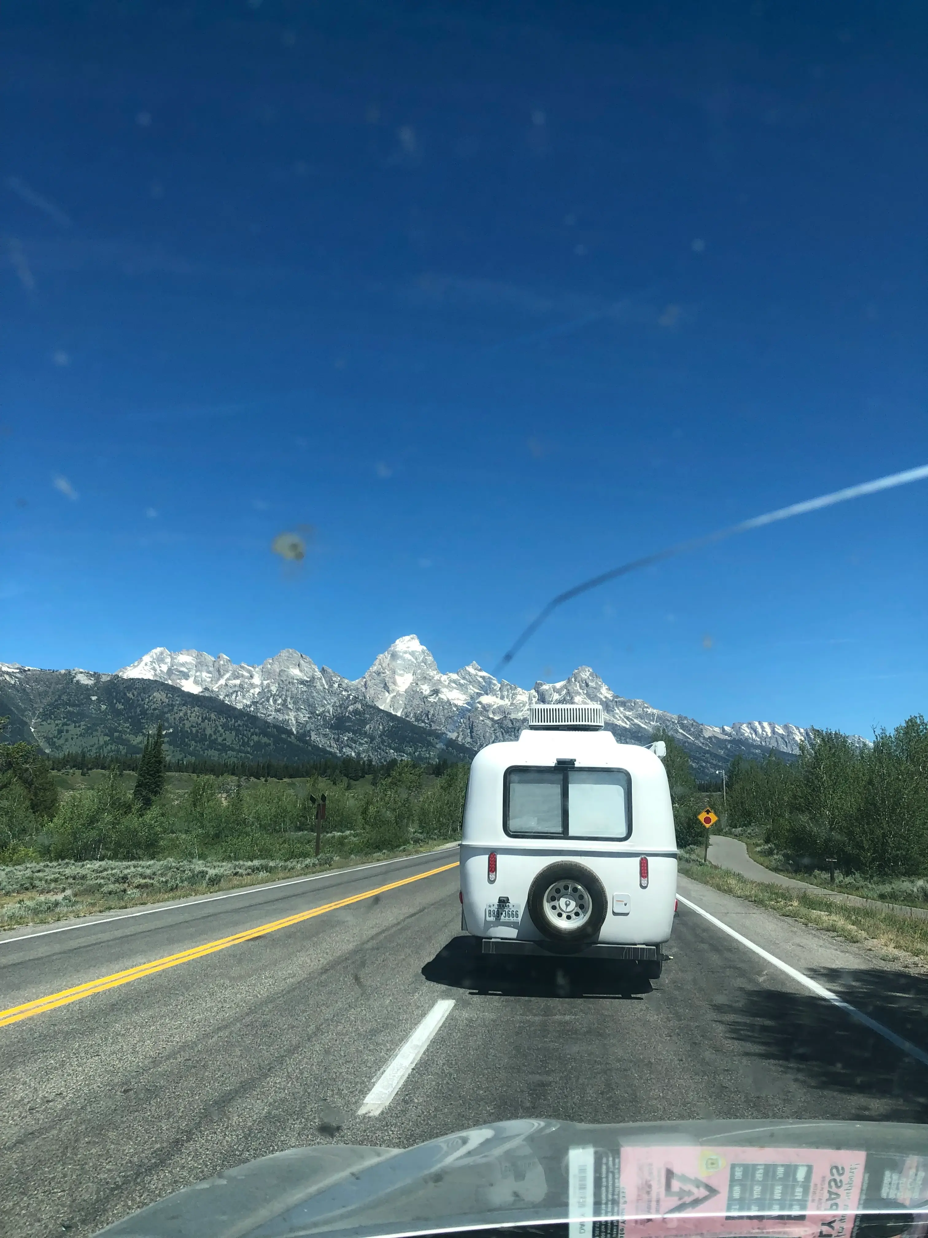
I camped that night at the edge of the National Elk Refuge, and decided to dip my toes into something more interesting the next day.
During the drive in, I couldn’t help looking at the imposing Mt. Teewinot, which is the mountain in the Grand Teton cirque closest to the valley floor. With snow clinging to the other peaks, it seemed like the mountain offering the best time to exploration ratio. I went for it.
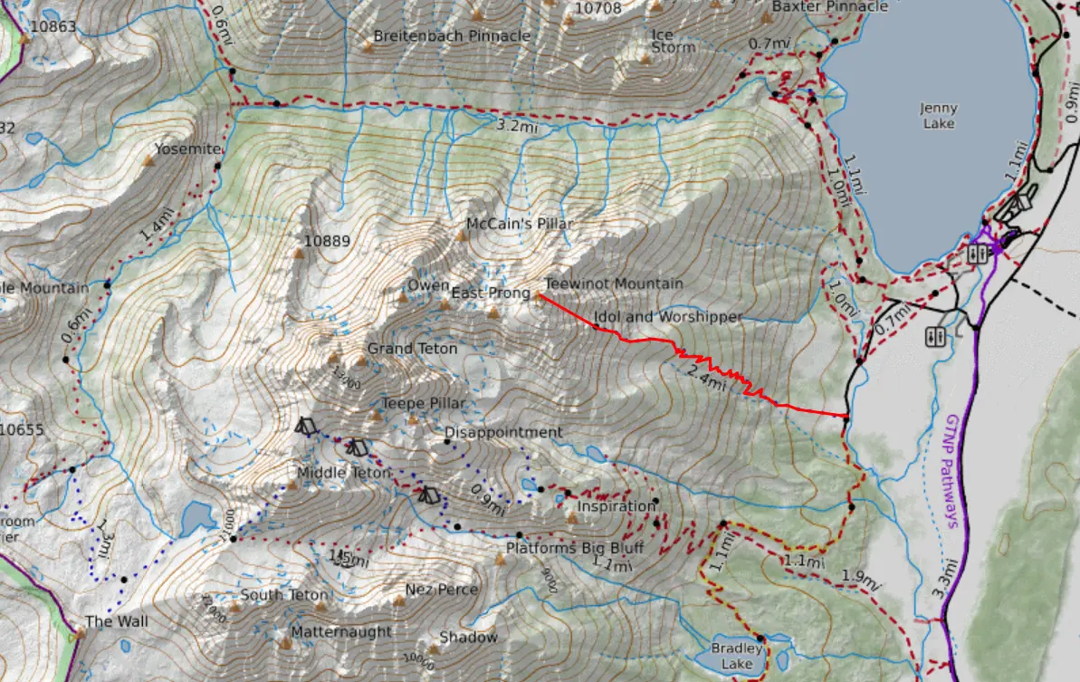
Starting at the nontraditional yet personally typical time of noon, I made my way from the Jenny Lake trailhead up the steep, relentless Apex trail.
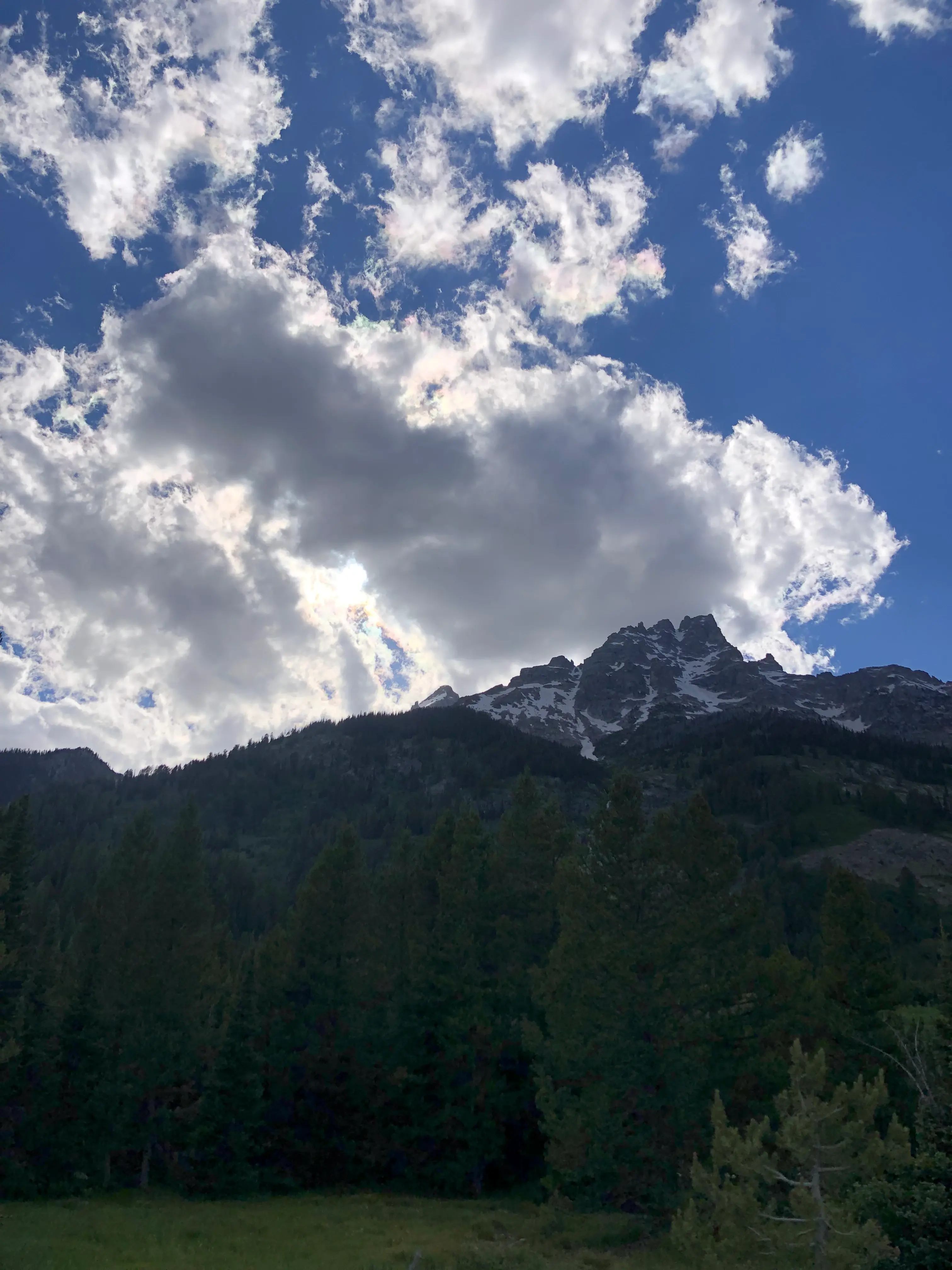
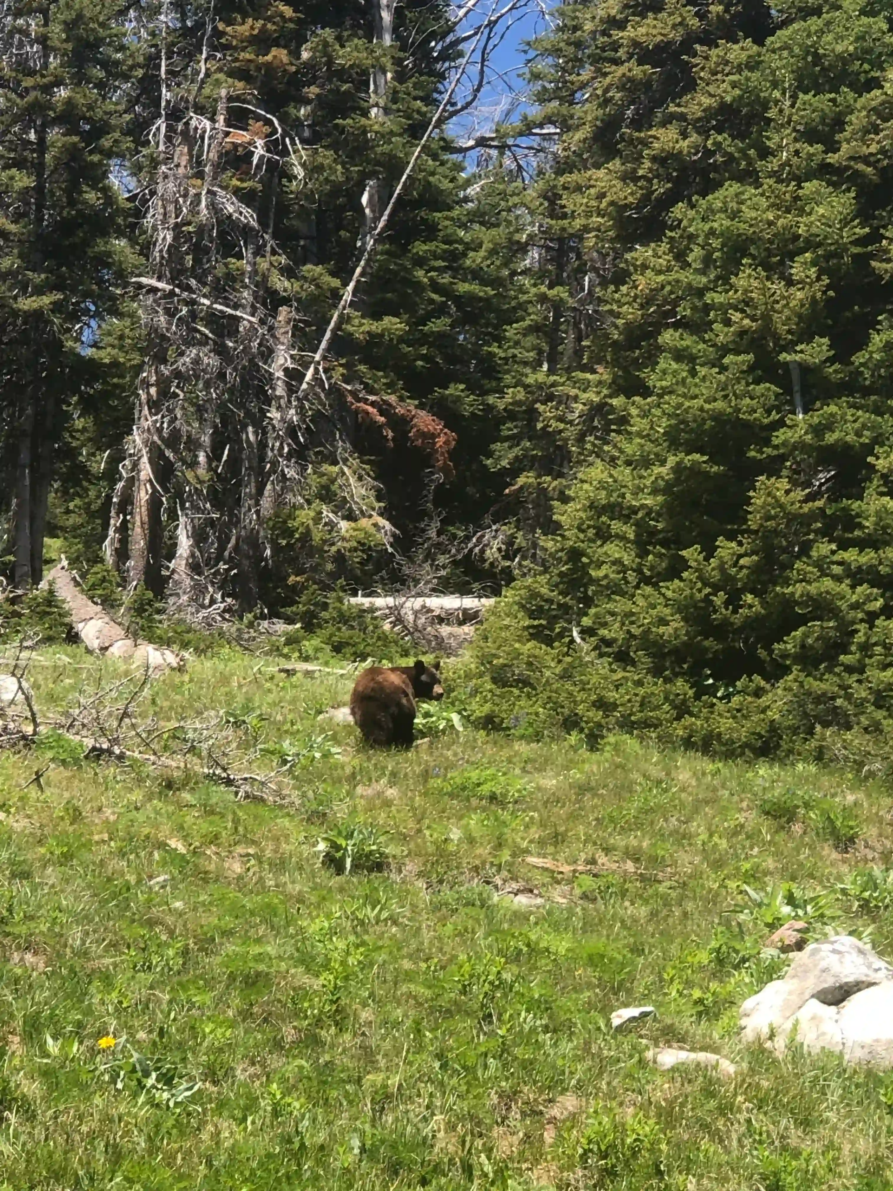
In spite of the steep trail, I found it was mostly pleasant. Although, bears are always a submliminal concern haha:
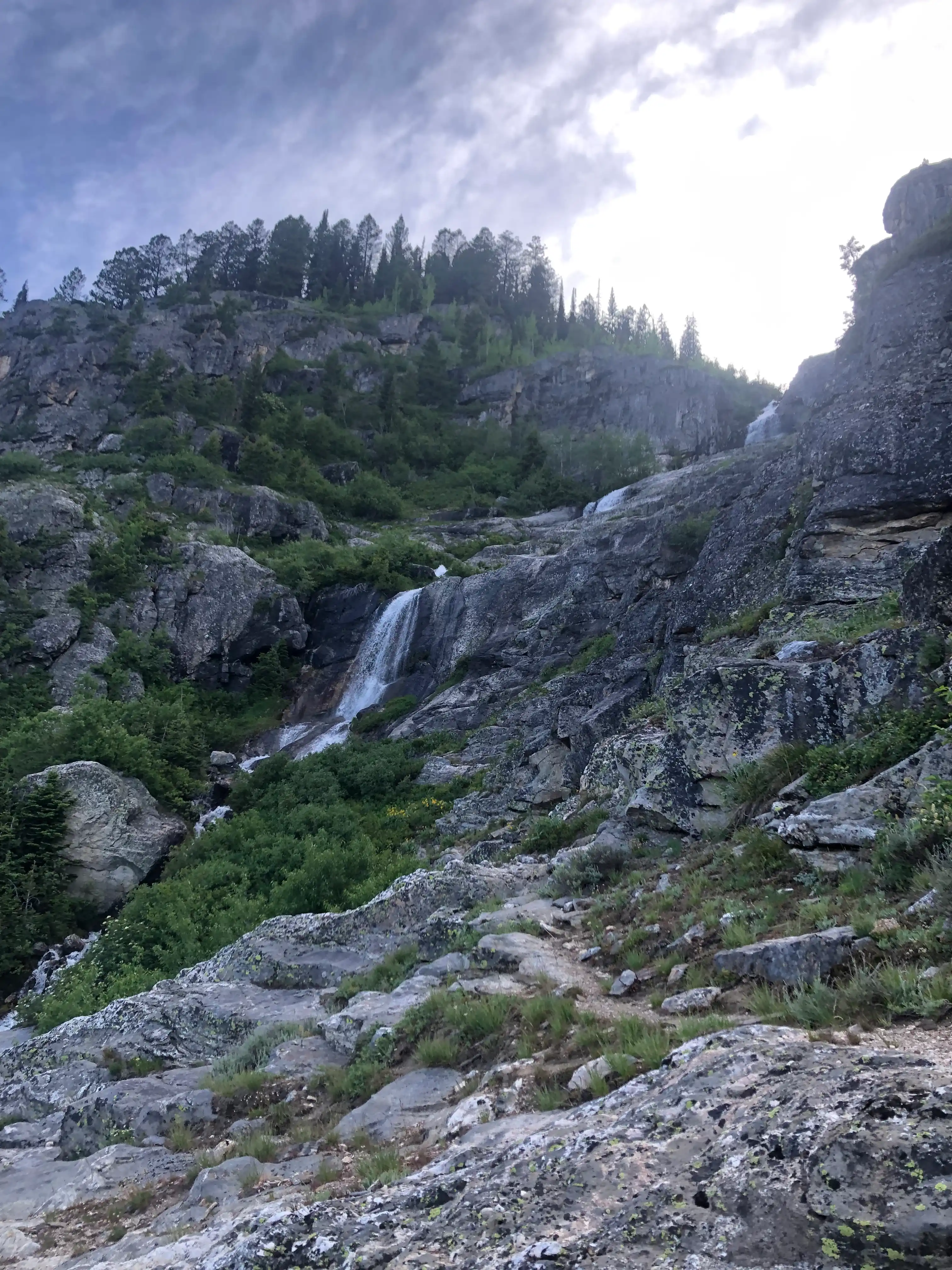
After a couple thousand feet of thuggin’ up the trail, it took just a few hours to gain the non-prominent Idol and Worshipper. Yet, the little gendarme is also where the snowline was encountered, which complicated things immensely. The issue was that the snowfield was sitting above a large cliff-band (I am pretty sure that the cliff-band is the reason Teewinot is the deadliest mountain in the Tetons).
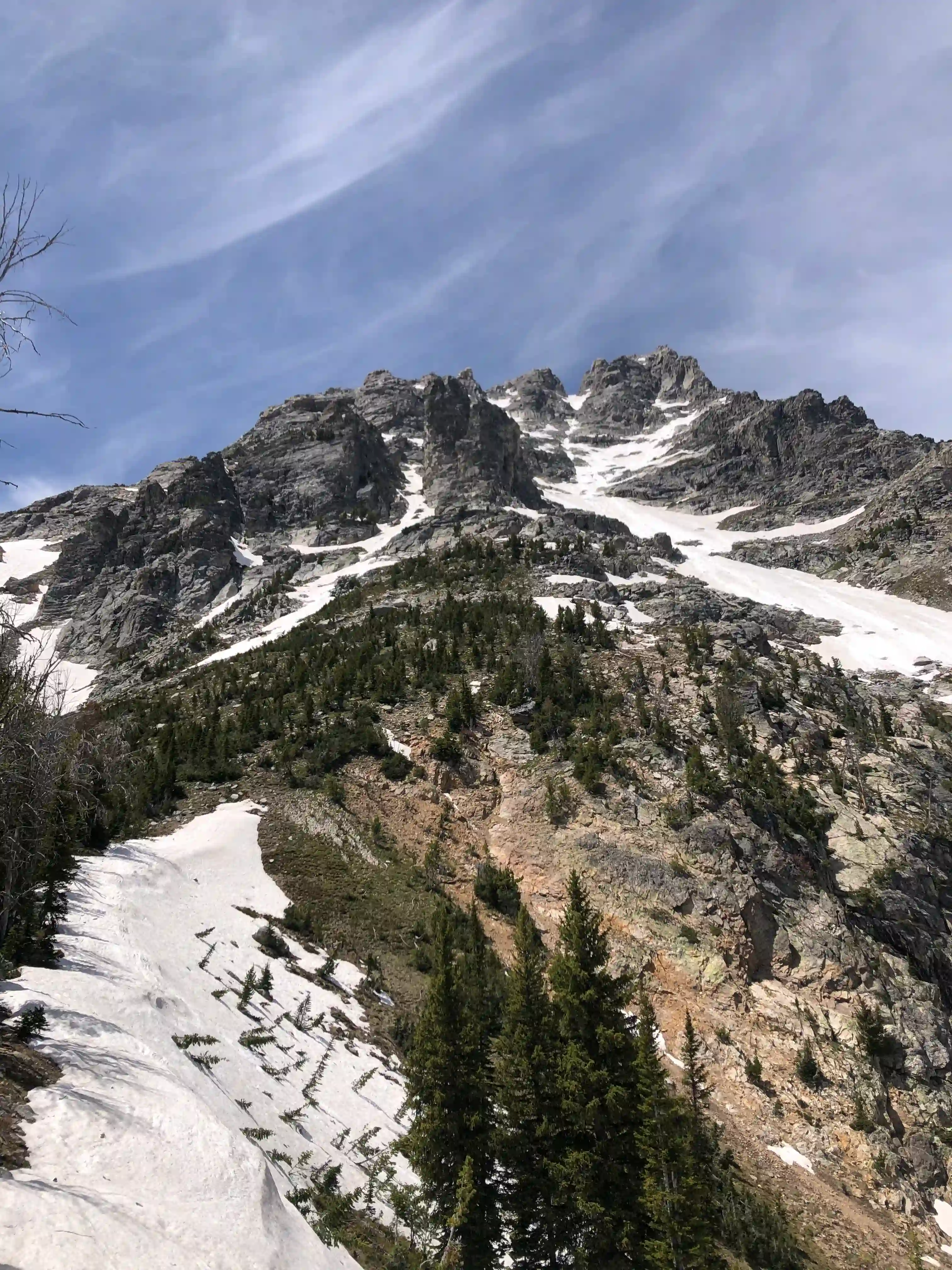
I proceeded carefully, generally contouring some tracks that looked to be a couple weeks old. I collapsed my treking poles and plunged them into the snow as makeshift ice axes, hoping the added thickness would give them some strength. Who said you never use mechanics of materials in real life?!
\[\sigma=\frac{My}{I}\]Anyways, care was needed with the hard snow and crampon-less running shoes.
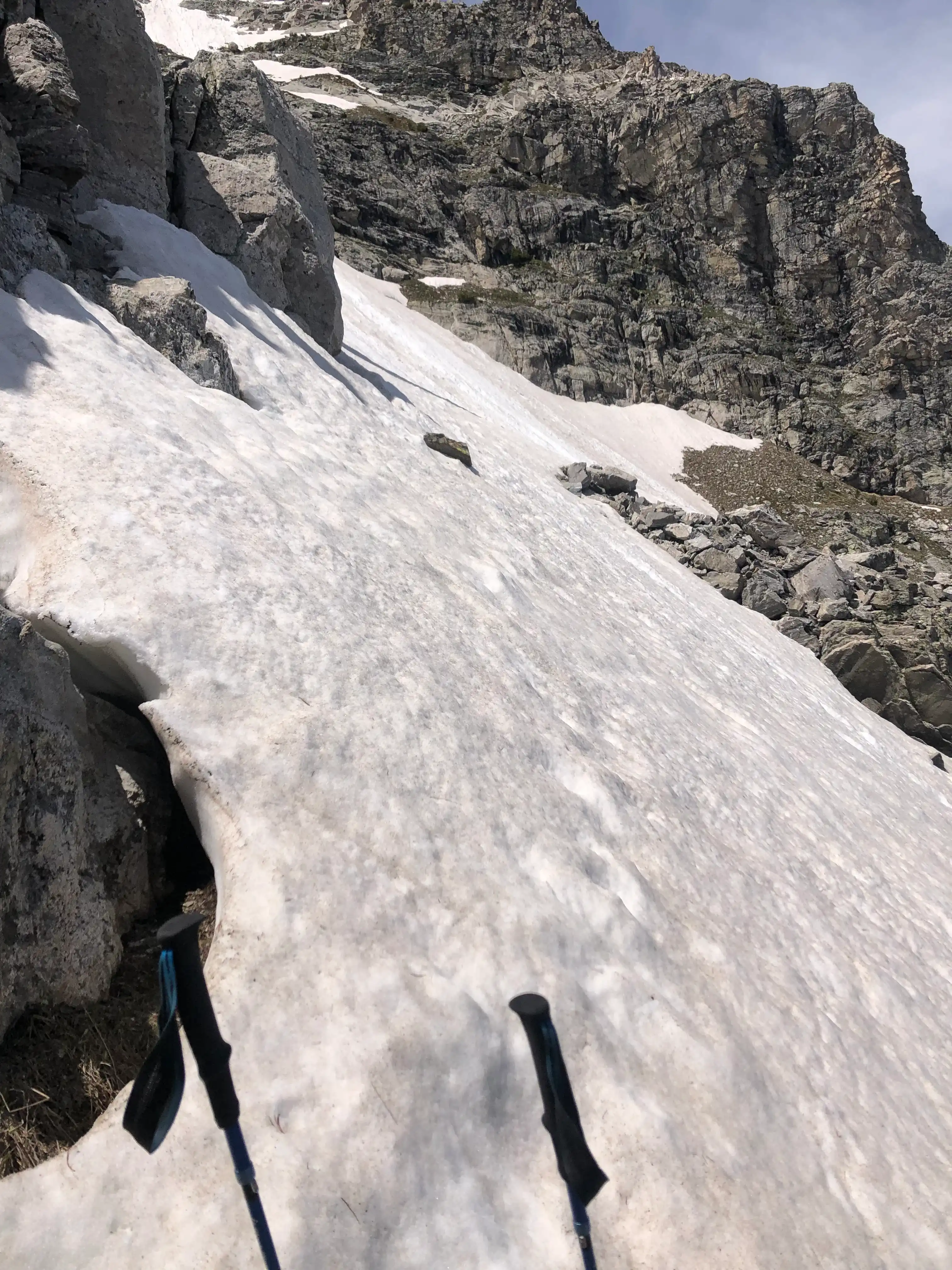
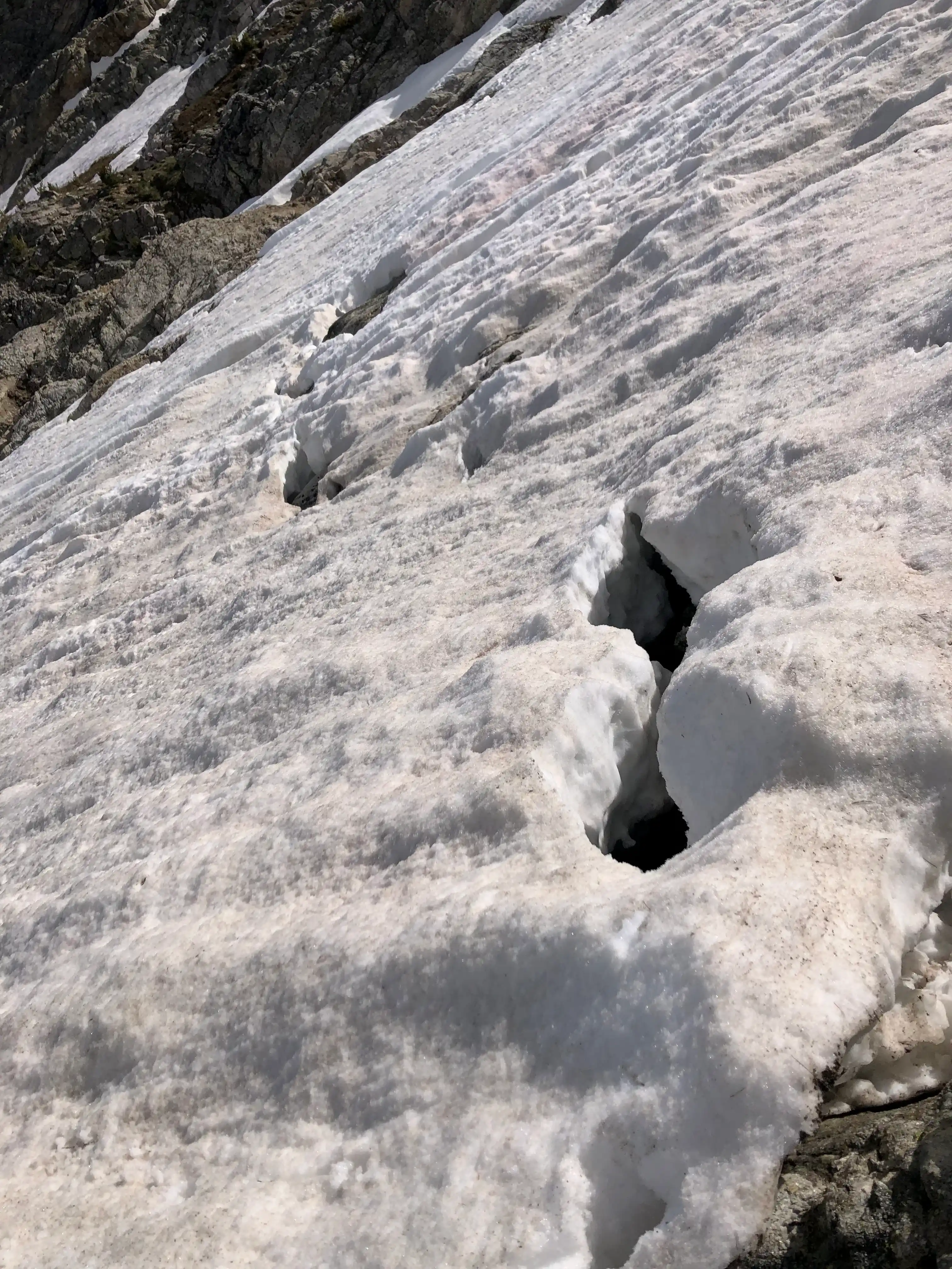
Eventually, I trudged to the top of the snowfield. Fortunately, there was a strong thermal gradient in the snow layers, which made it possible to find traction without sinking. The top of the snowfield had a nice ledge to quickly rest before navigating through the various couloirs to the summit.
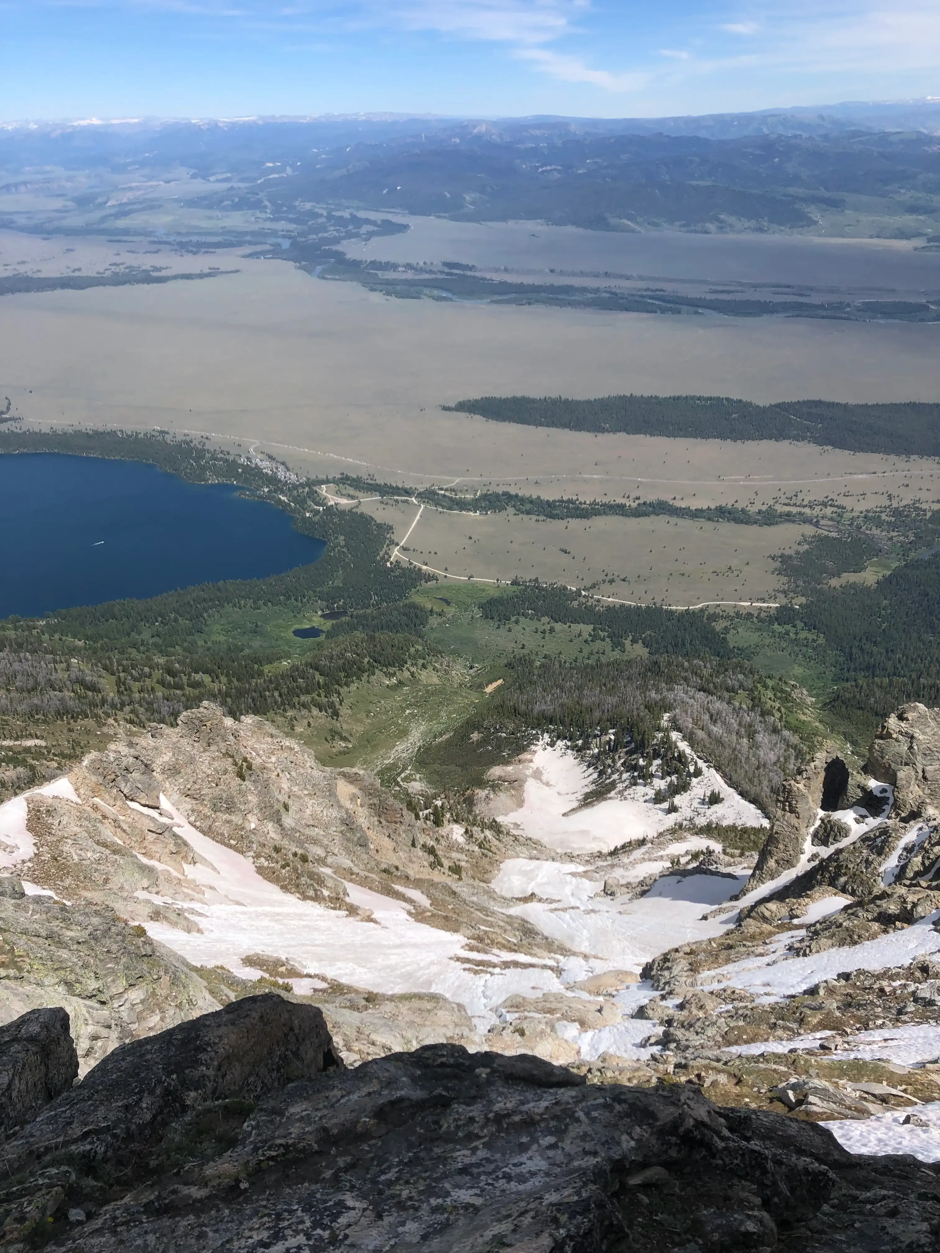
Using a topo map, I noticed that the primary couloir led to the south summit. To avoid this, I ascended the direct line, which involved some tricky scrambling on the side of a steep couloir (4th class?). The rock quality was excellent, however, and I never felt insecure. The couloir led to some class 2 boulder hopping to the true summit, featuring dizzying views of Cascade Canyon and the Teton cirque!
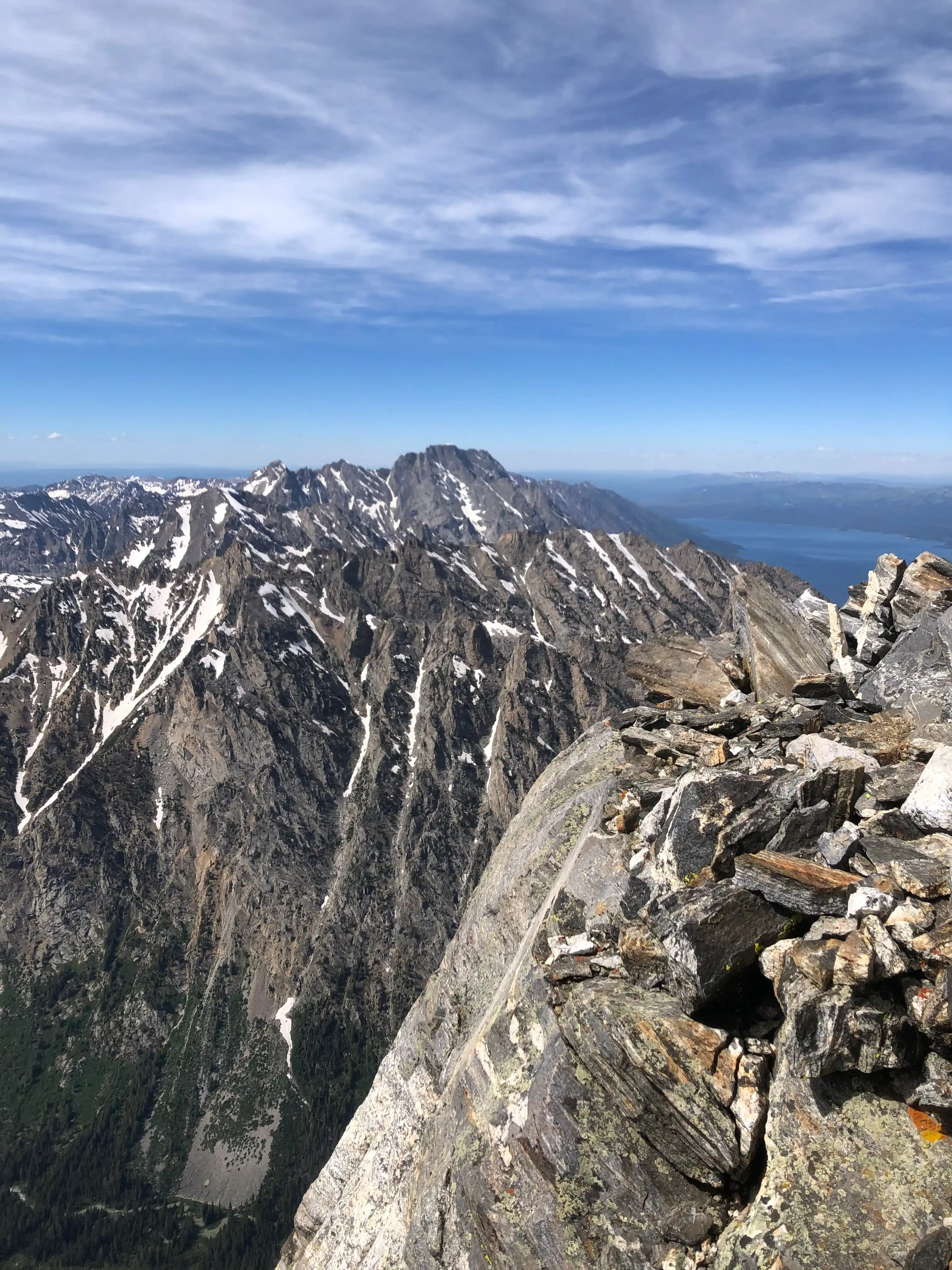
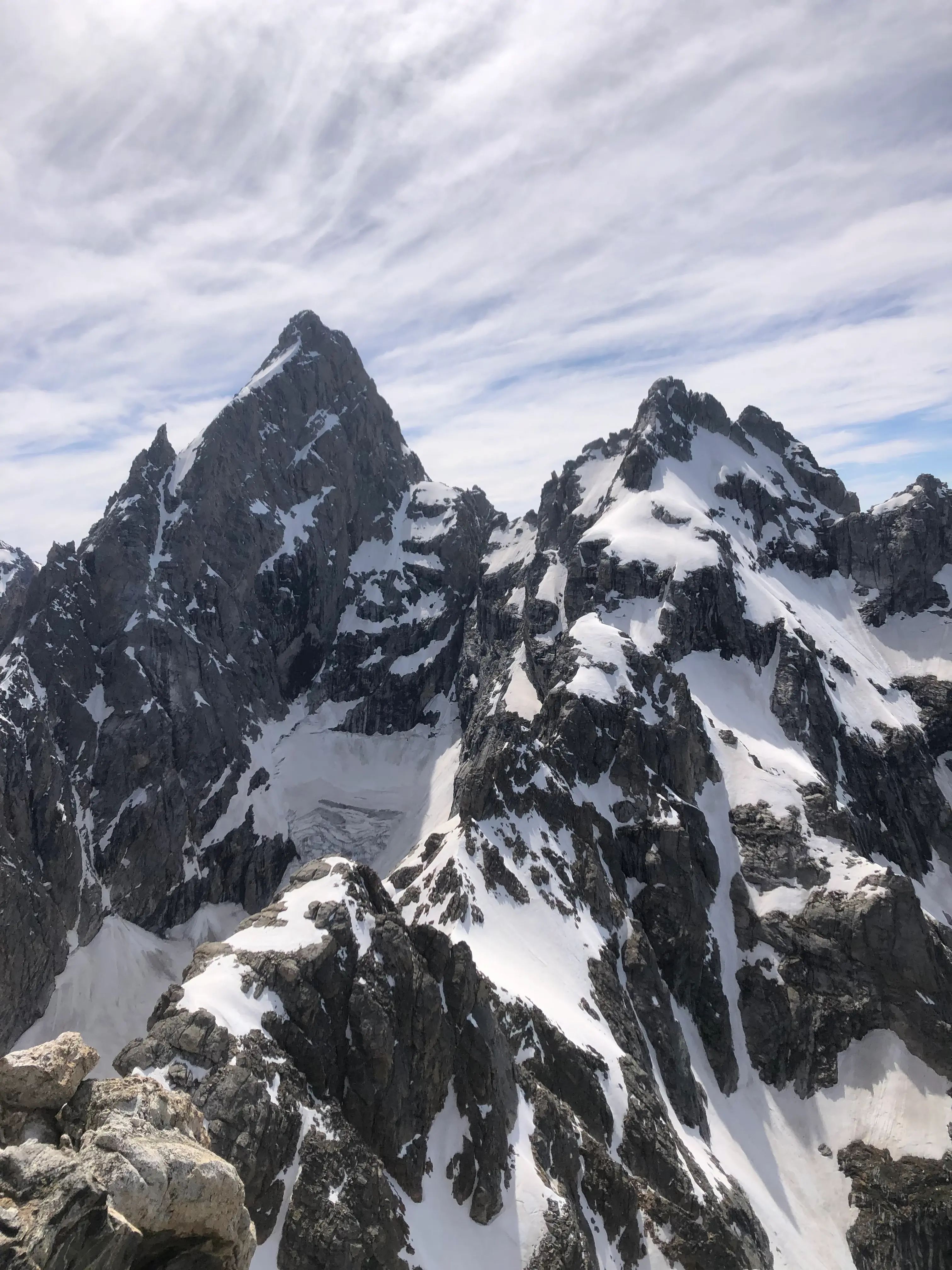
After a quick summit and a facetime with a friend, I dropped back down the scree and enjoyed a pleasant glissade down the east face before running down the damn steep trail to the car. Nice way to spend a saturday!
The Teton Crest Trail
After Teewinot, my friend Jack Tooley (the same one I was facetiming from the summit) got hyperfocused with the Teton Crest Trail. I was naturally snared in. We waited until August to drive up to Jackson, lassoing a former cross country ski buddy of mine, a former national ski mountaineering racer, and a friend of mine from the Cal Poly Alpine club—we were quite the crew.
The Crest is typically explored as a backpacking route over the extent of 3-4 days. However, we are far dumber than “typical”—we wanted to be done by noon the same day, and didn’t want to carry heavy packs.
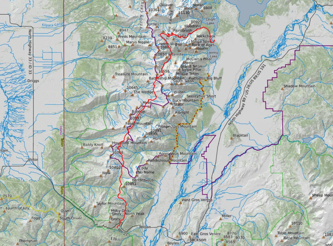
The Crest was quite the experience. It was incredibly challenging and astonishingly beautiful the entire time, which helped, at least minimally, to distract from the blisters.
Our day began at 3:45 (ish) in the morning. With semi-stiff legs, we put in a solid (probably too solid) pace, getting us into the National Park well before sunrise.
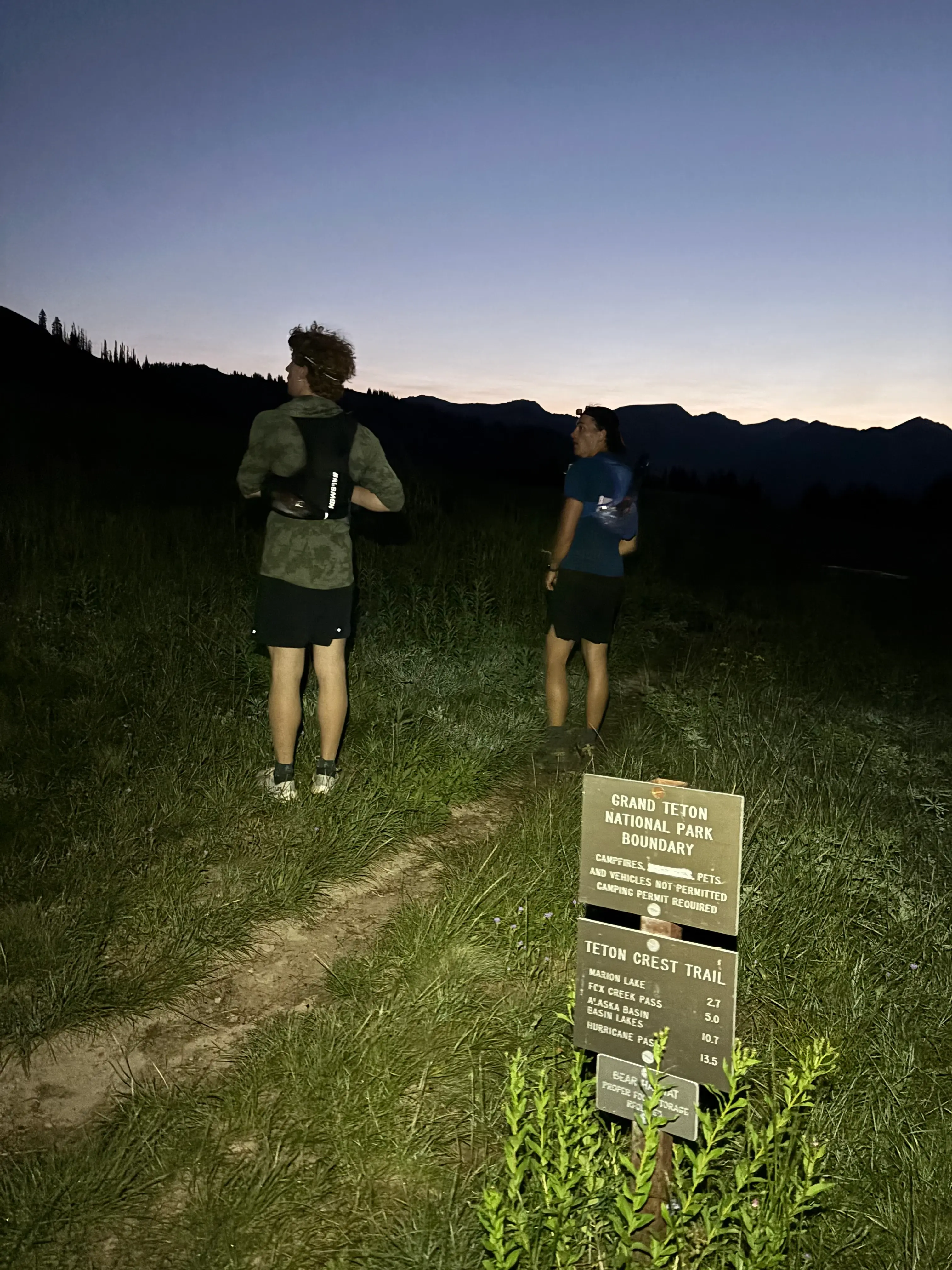
We made it near the Granite Creek basin before the sun invigorated us. The darkness, however, did provide a sense of time-travel—with the light, we now had a perception of distance, namely how much was remaining.
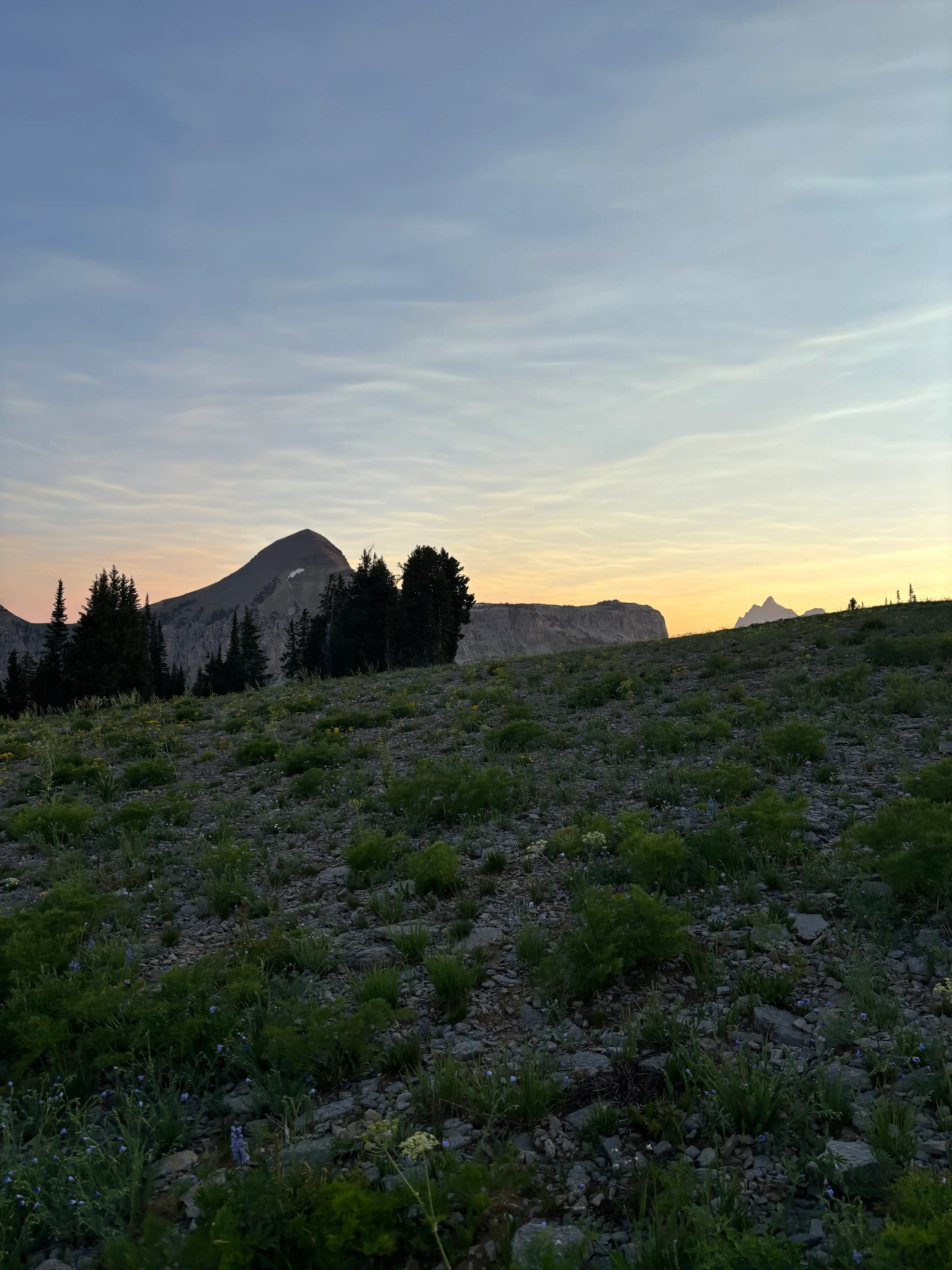
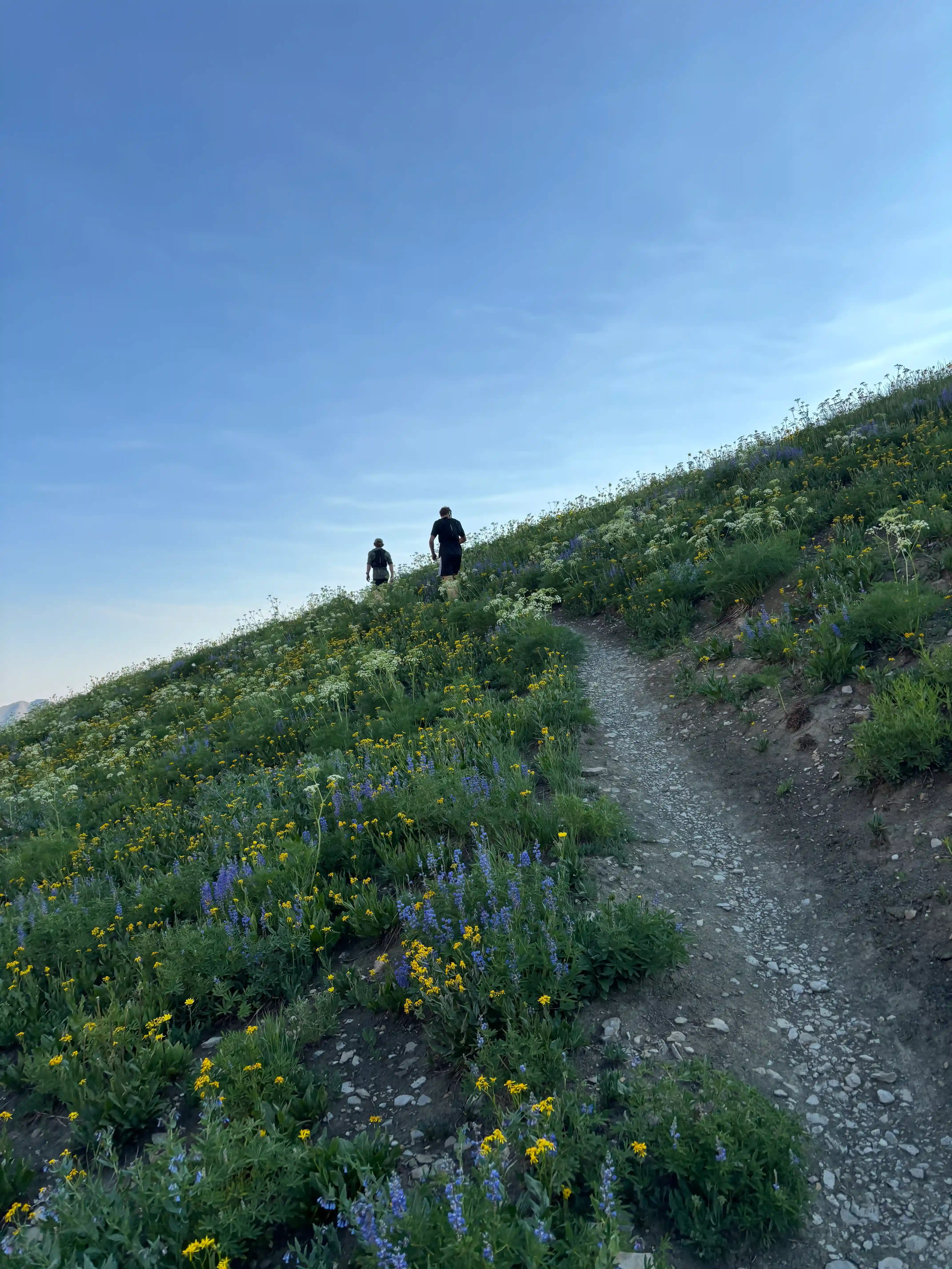
Near Spearhead Peak, my ski buddies were putting in a personally unsustainable pace, so my Cal Poly friend Maddy and I dropped off the back, keeping things steady with 29 miles remaining in the day. This proved to be an enjoyable decision, allowing me to appreciate my surroundings to a more-fitting degree.
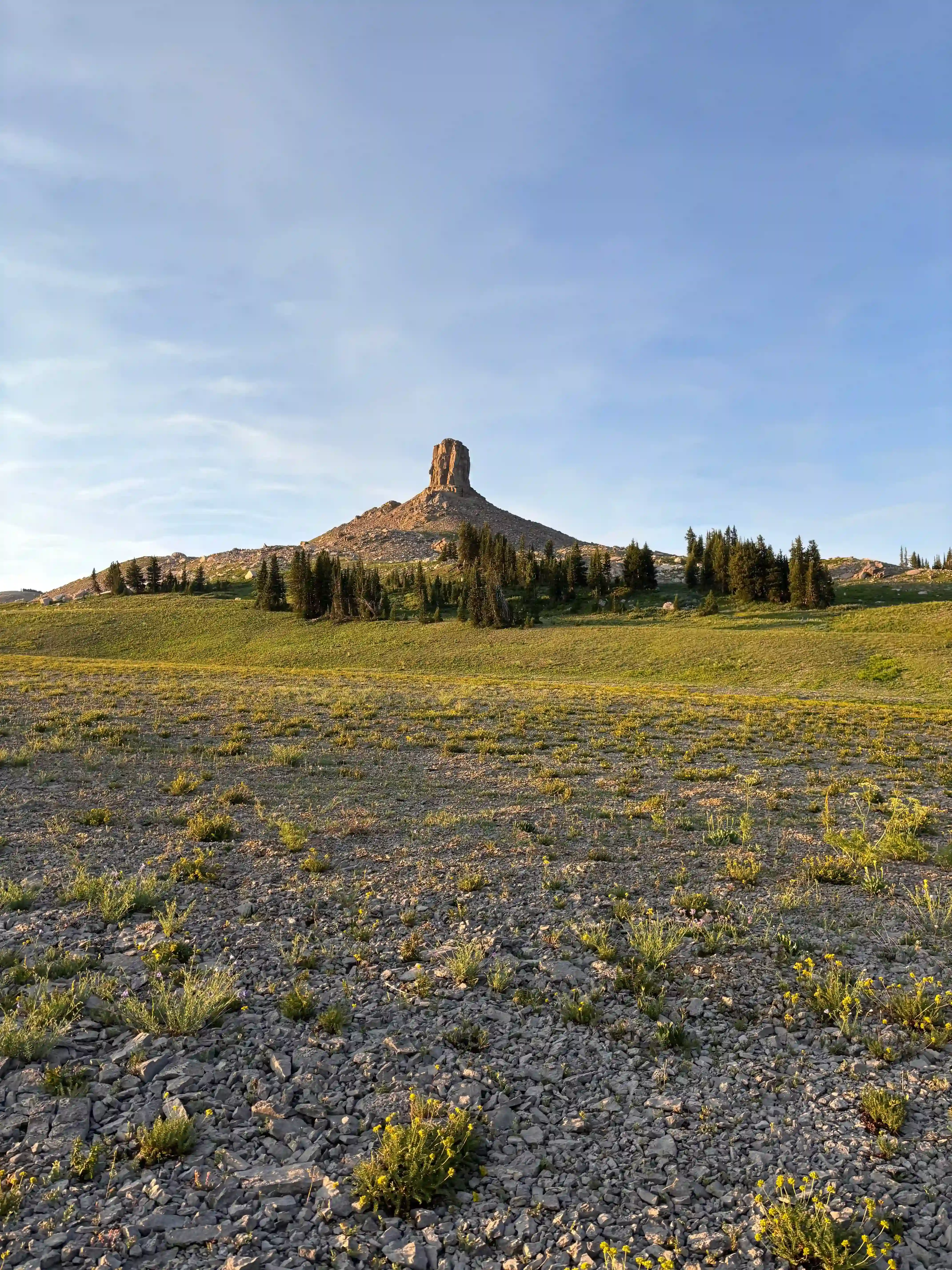
We entered my favorite zone on the route: the Devil Cliffs. The enjoyment of the unreal grassy shelf was amplified by some wildlife, including baby mountain goats (they are as cute as you are imagining)!
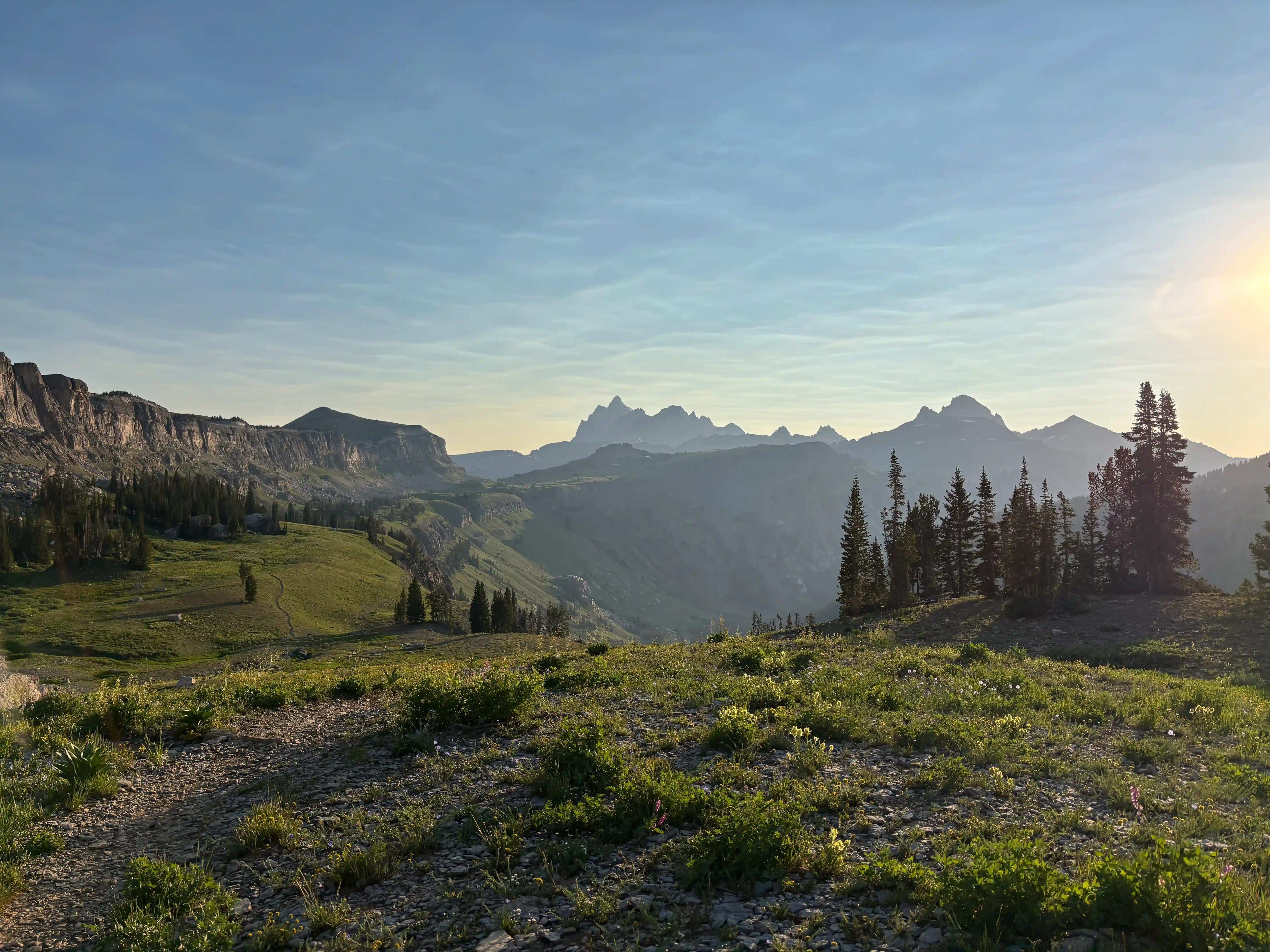
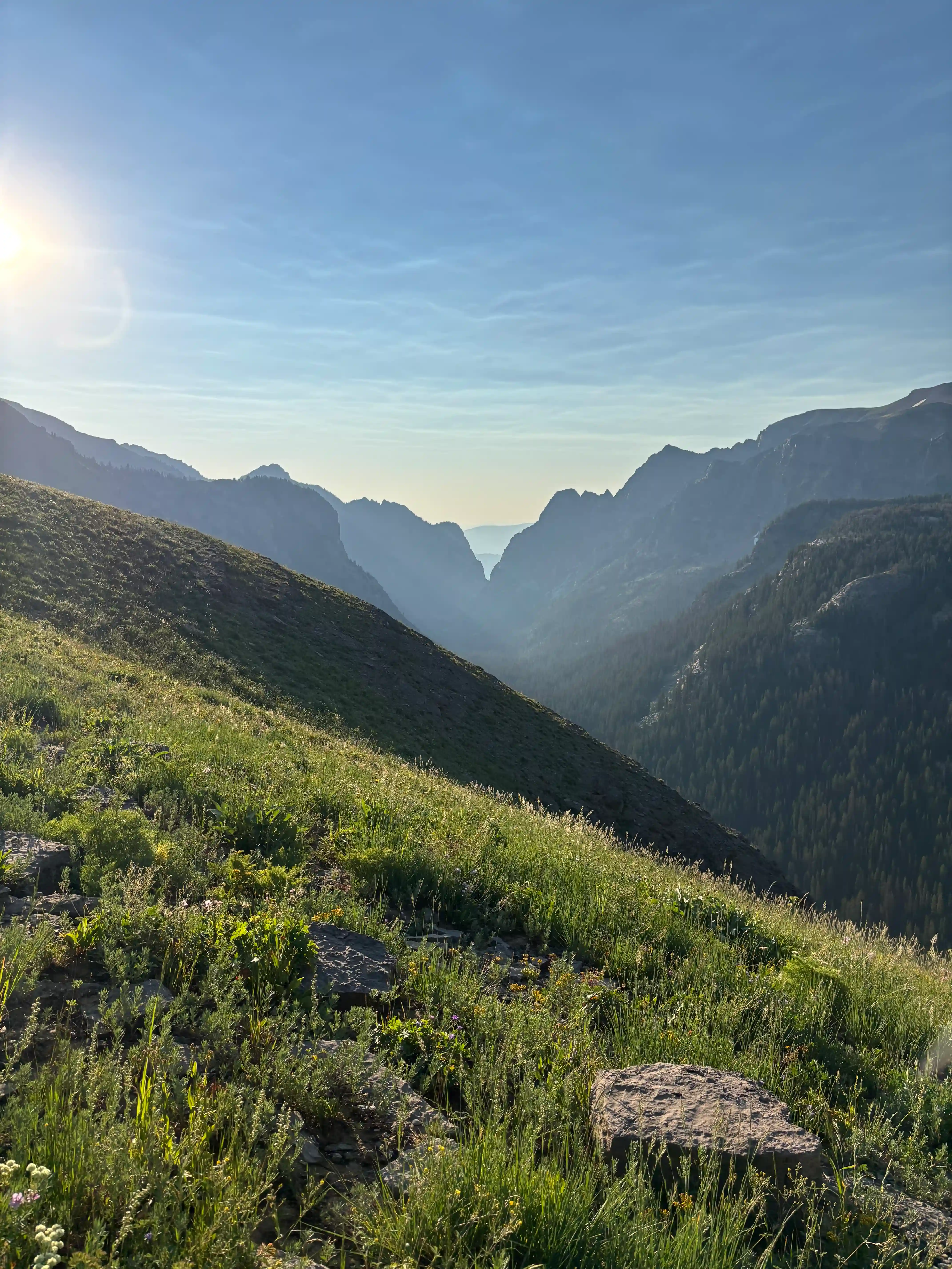
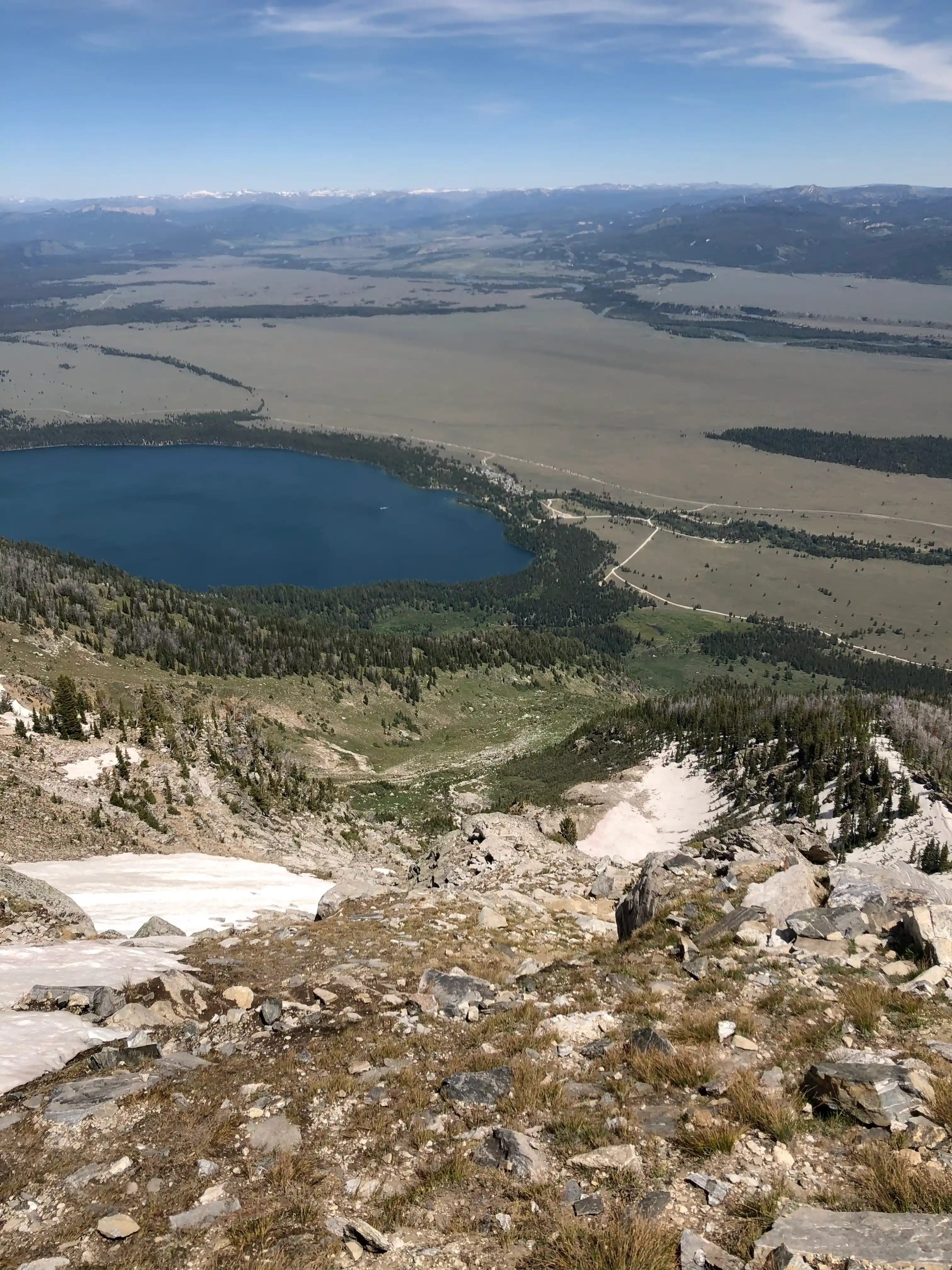
The crest continued on, traversing a series of basins and ridges until reaching Hurricane Pass, giving a rare view of the High Teton Crest!
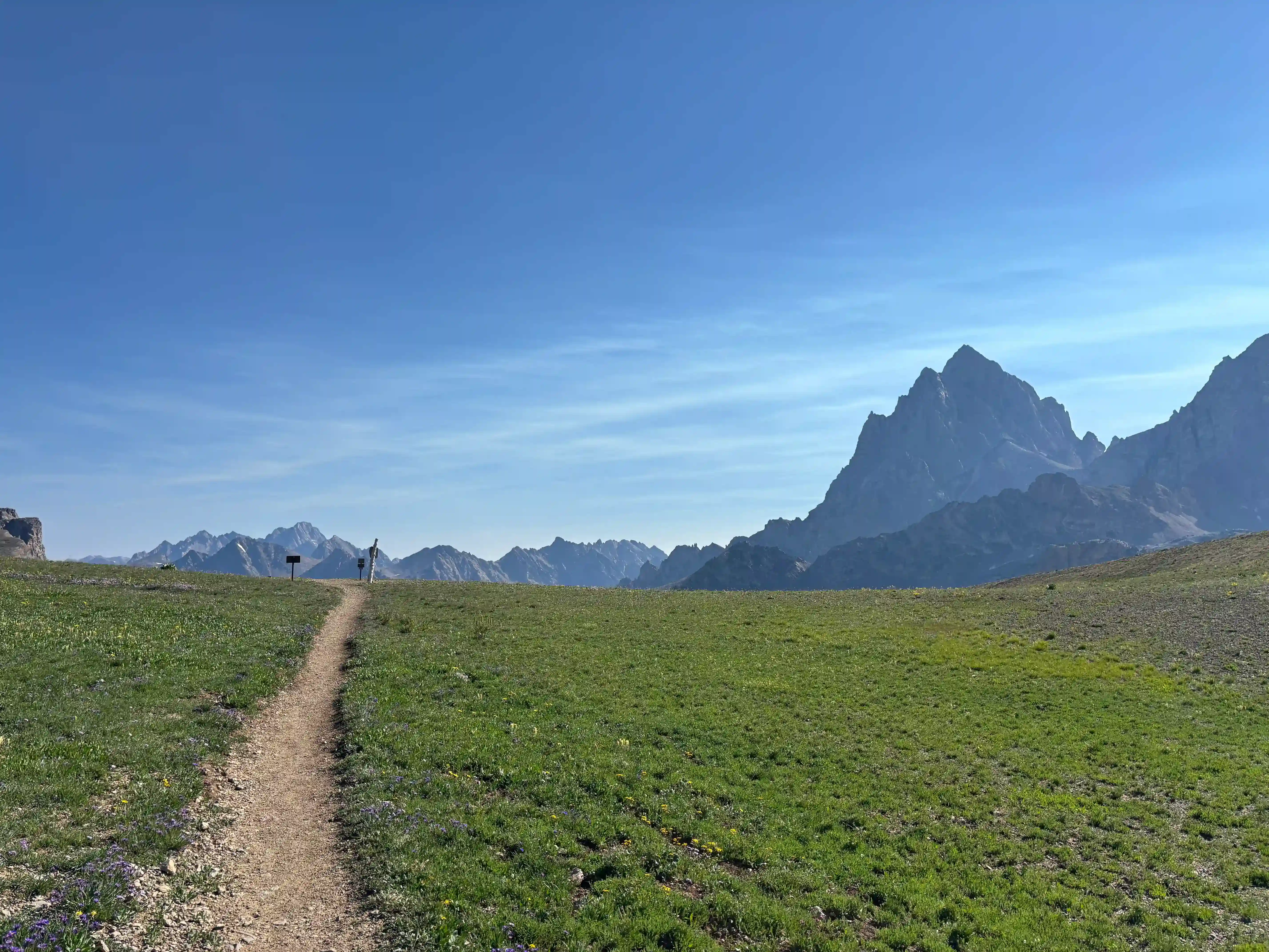
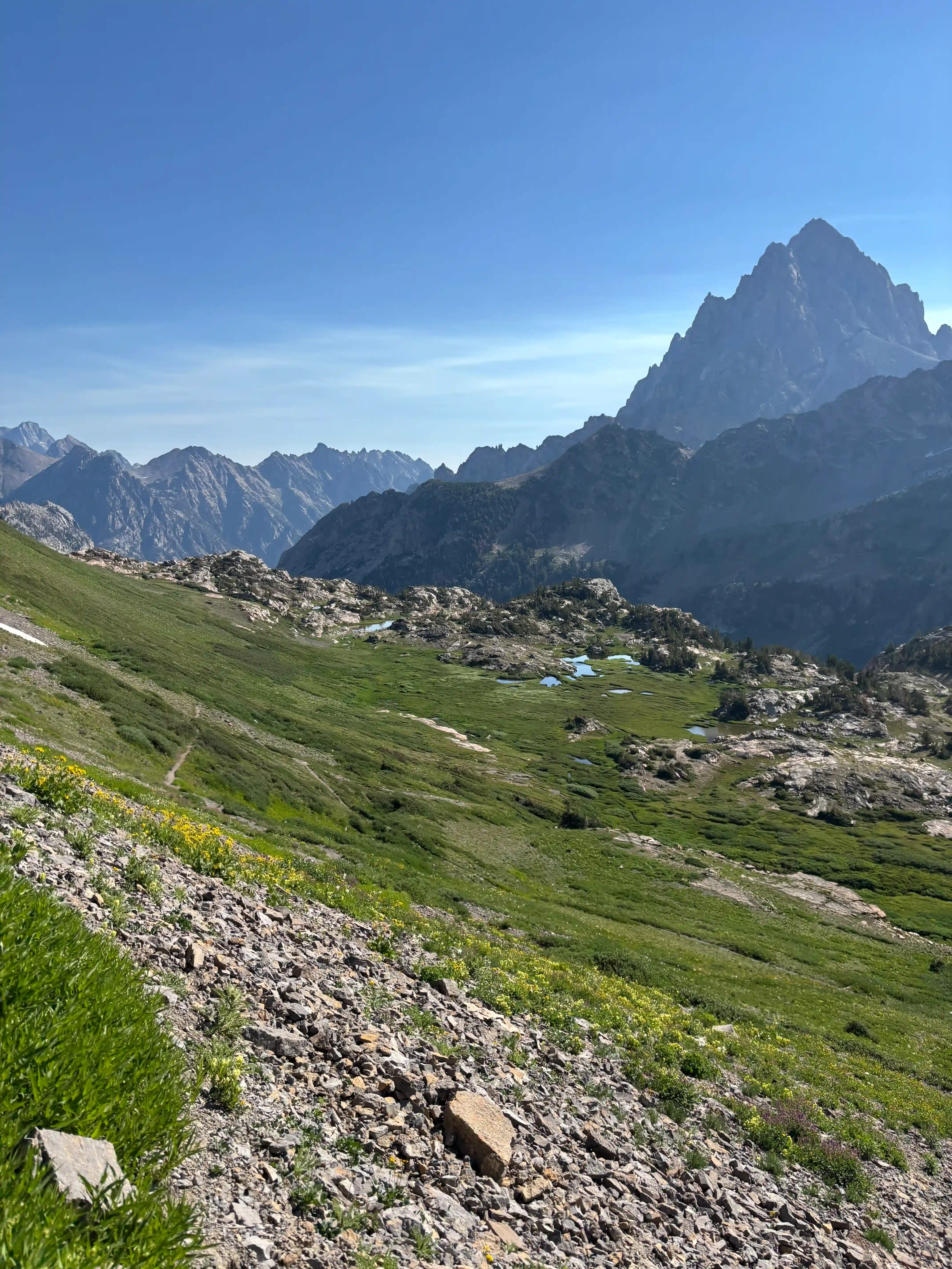
With 15 miles to go, we dropped down into Cascade Canyon before climbing the North Fork of Cascade Creek up to Lake Solitude. This was difficult, as majority of the vertical gain and loss are concentrated at the end of the Crest. In other words, the trail kicks you when you’re down…but I still couldn’t stop smiling!
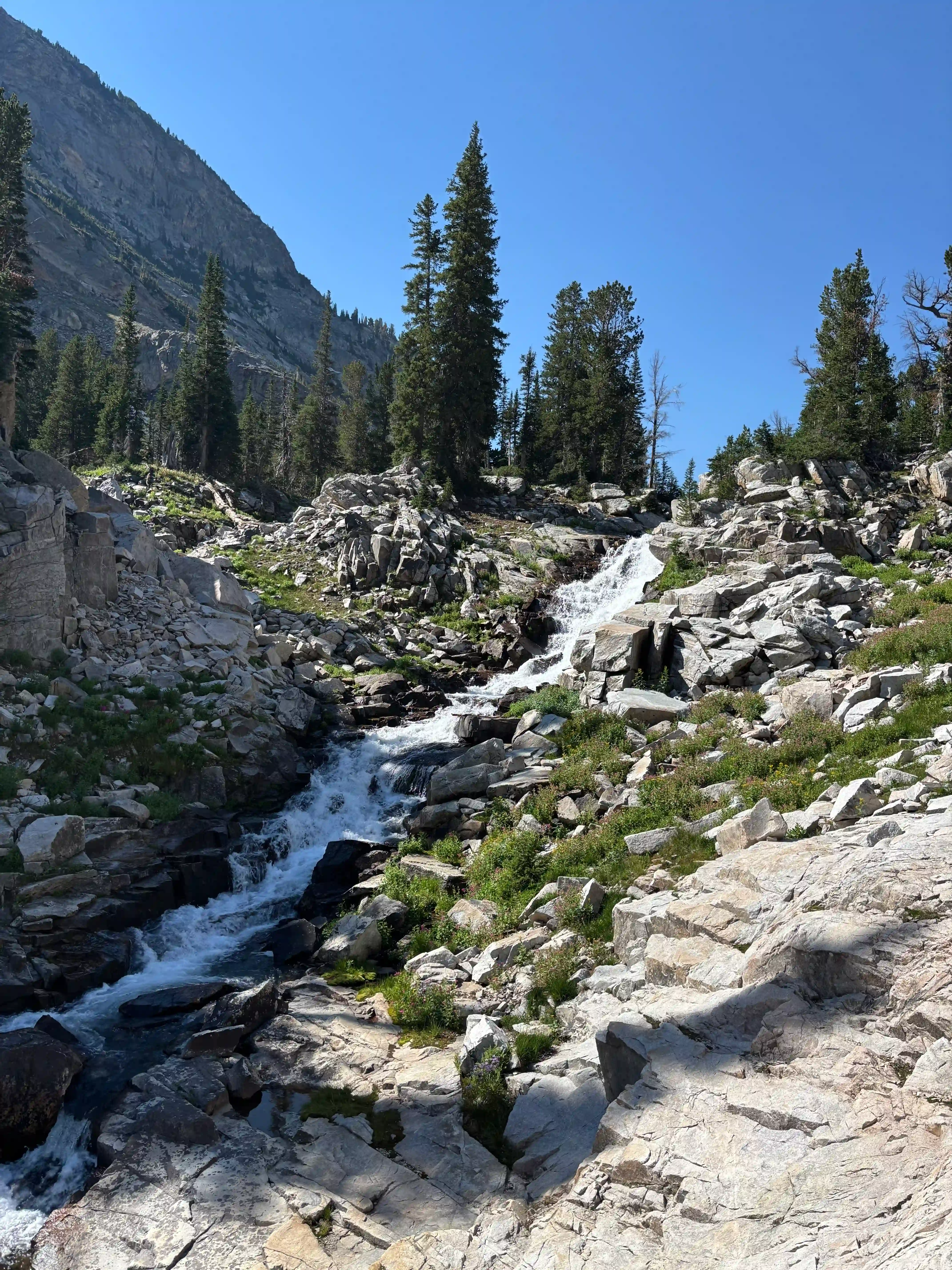
The push to Lake Solitude was difficult, as the heat of the day was starting to be noticed. However, with a nice rest break at the lake with views of the Grand Teton, we were back into it.
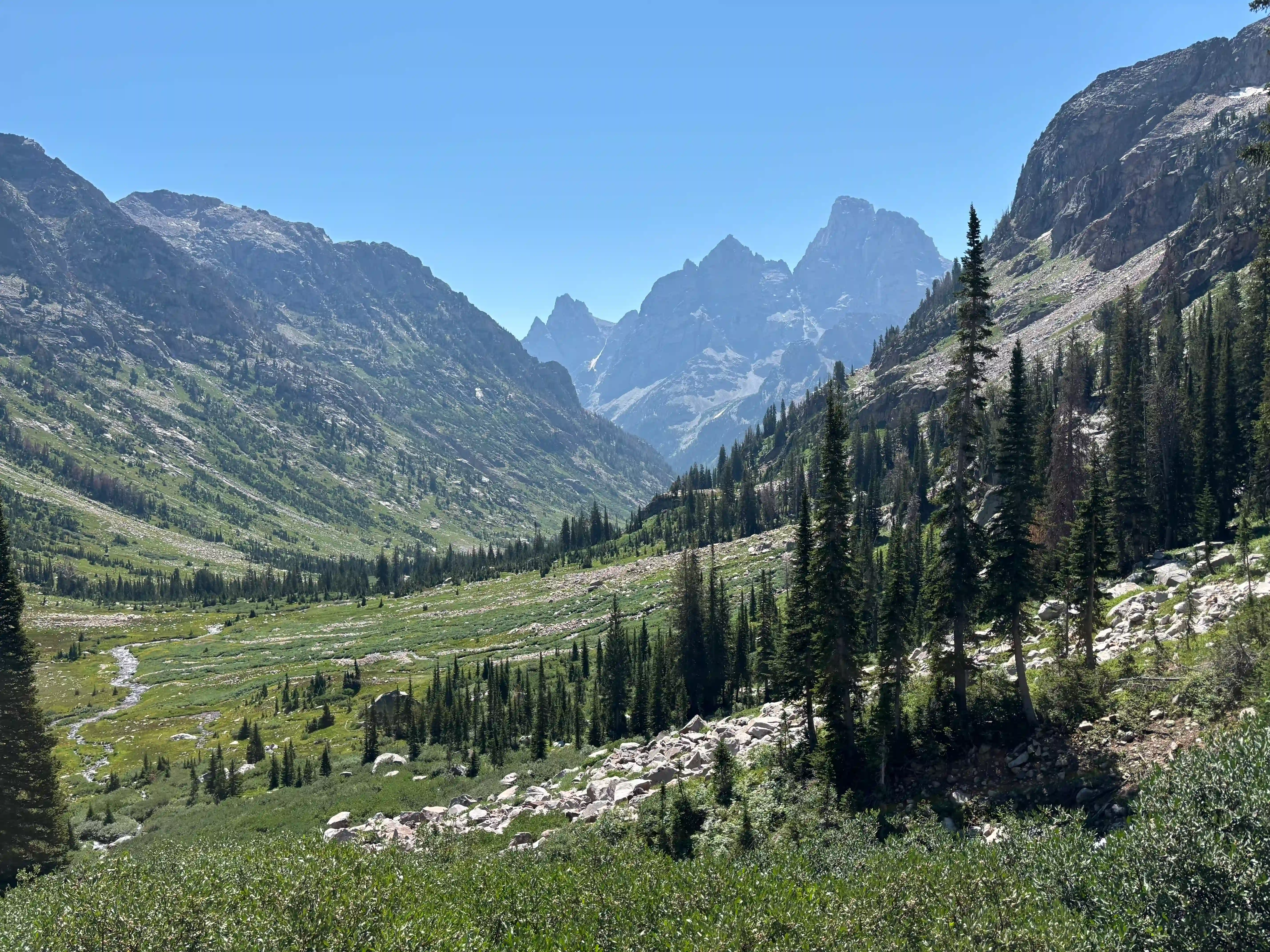
From Lake Solitude, the long climb to the Paintbrush Divide had us back in the cooker yet again, but we rallied with the knowledge that it was our final climb. We ran into a gentleman carrying skis, aiming to descend a snowfield on the Northeastern aspects of Peak 11272. That’s another level of dedication.
The Paintbrush Divide was a wonderful last stint on the Crest. We enjoyed the beautiful smoke-less views of Mt. Moran, and dreamed about the possibilities of future adventures in the area—procrastinating what was certainly going to be a painful 7 mile descent down Paintbrush Canyon to the car.
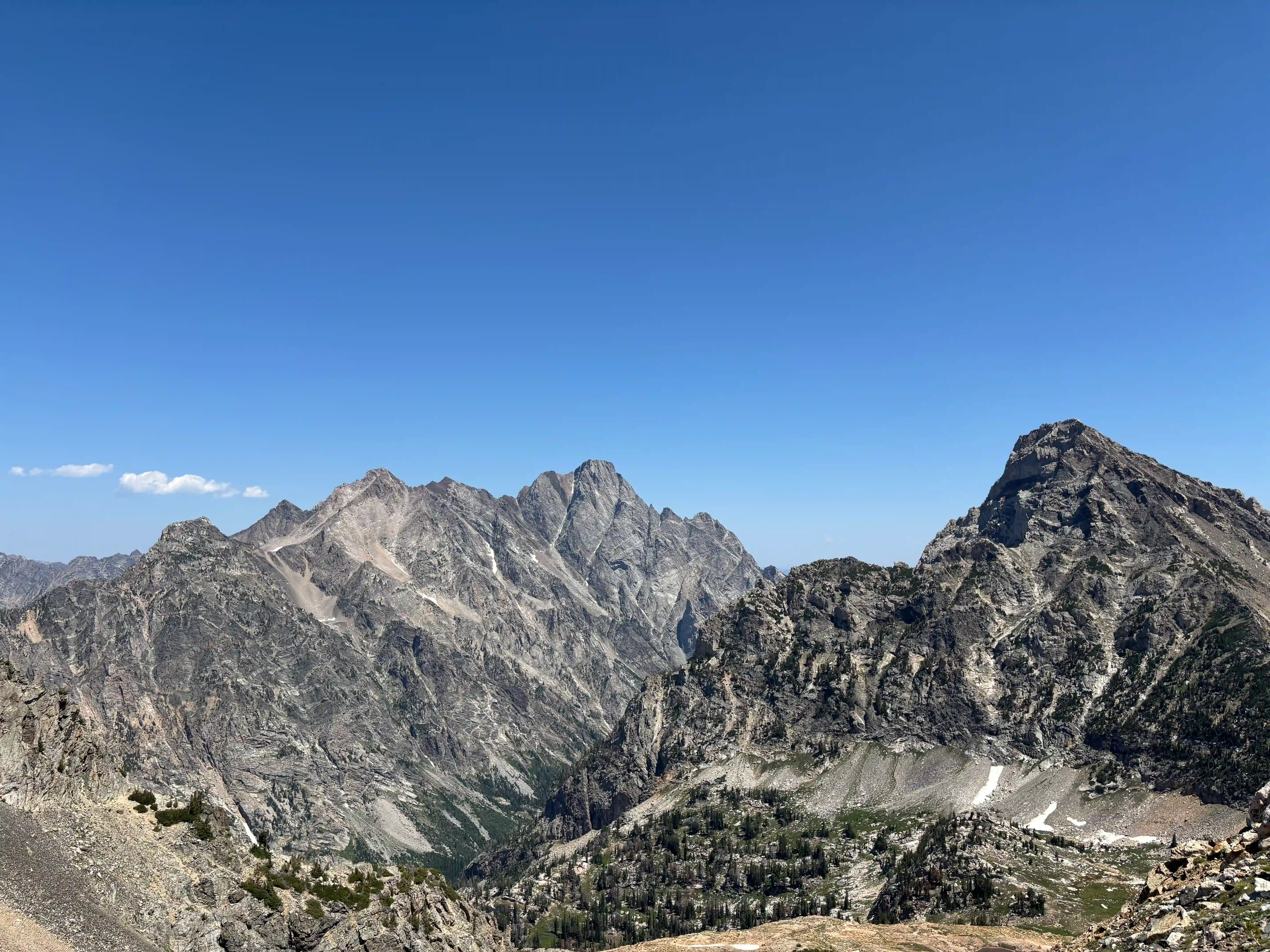
Indeed, the descent down Paintbrush canyon was rough and never-ending. The heat and lack of water sources towards the end drew the run out to madness-inducing levels of suffering…which was quickly forgotten with a swim in String Lake!
Funnily enough, the boys that raced off early in the day blew up in Cascade Canyon, so we only finished 30 minutes behind them!
The Grand Teton
After an unsurprisingly expensive crispy chicken sandwhich in Jackson, the group planned how to spend Sunday, balancing fatigue with the ambitions that naturally come from being in such an inspiring place. I had looked at the Grand Teton for a long time, and decided to give it a fair attempt the next day, pending the level of muscle destruction from the TCT in my legs. We decided to head into the Park again, sleeping…somewhere 😉.
With another 3 am wake up, my friend Wes Perkins (the Skimo kid) and I headed up the Lupine Meadows Valley Trail, looking to head up towards Garnet Canyon. Wes is incredibly strong, and had us refilling water in the Garnet Meadows before sunrise.
I was looking to attempt the Grand Teton via the classic (easiest) Owen Spalding route, and Wes was planning on free-soloing some atrocious route on the Grand near the Teepe Pillar. We stayed together through Garnet Canyon, but he went ahead on the ascent to the North Fork of Garnet Canyon (forming between the Middle and Grand Teton).
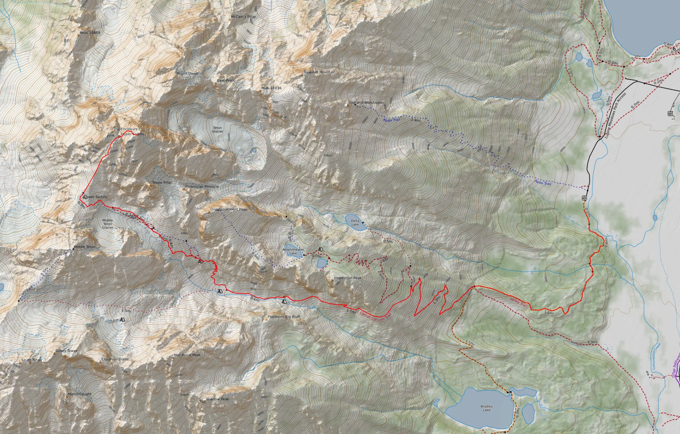
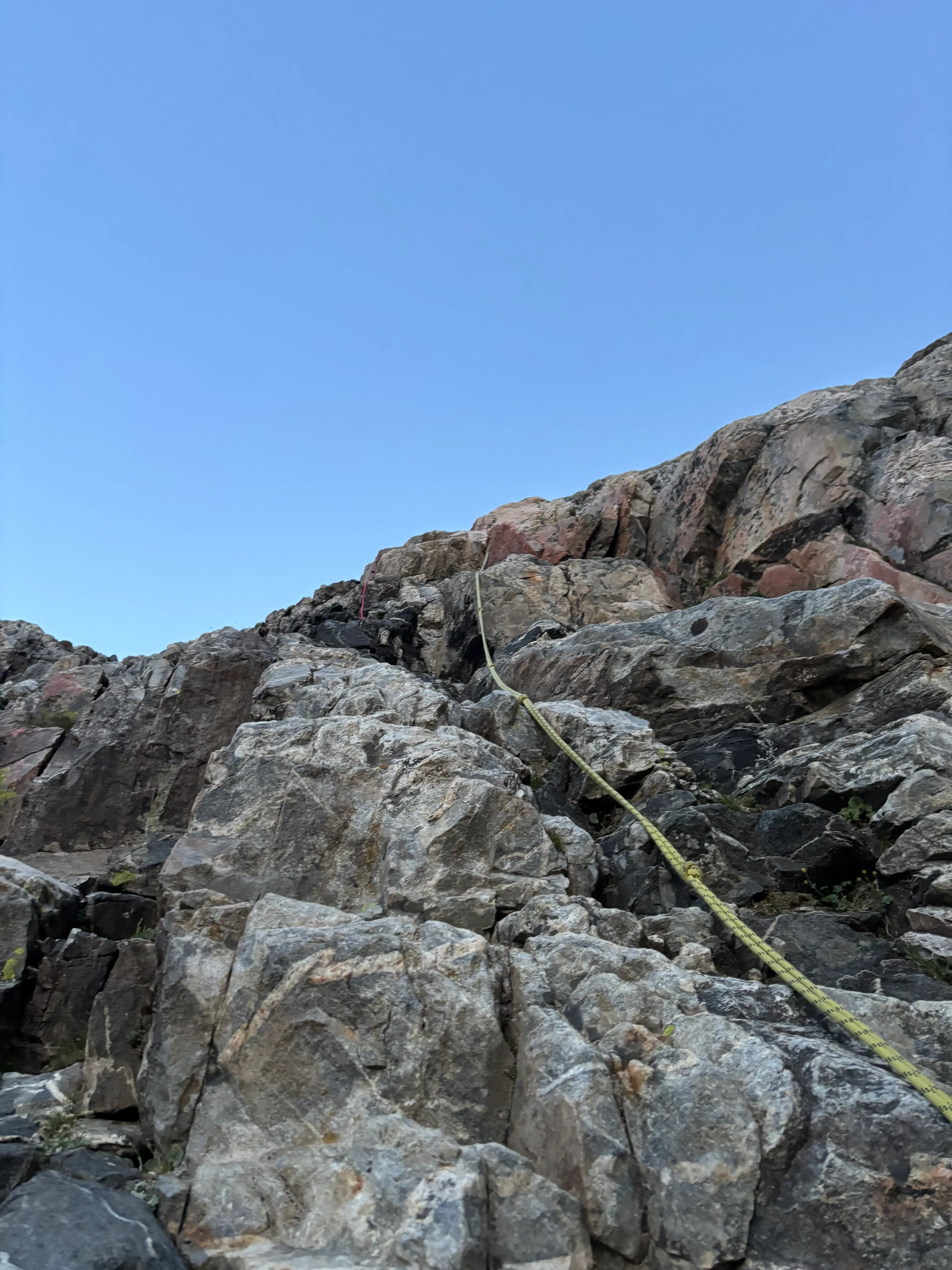
I continued to push my way up the glacial moraine that composes the North Fork, aiming to efficiently gain the lower saddle with varying degrees of success. Gaining the lower saddle involved mostly class 1 boulder-hopping with a short, steep (fixed-line aided) climb through a small cliff band.
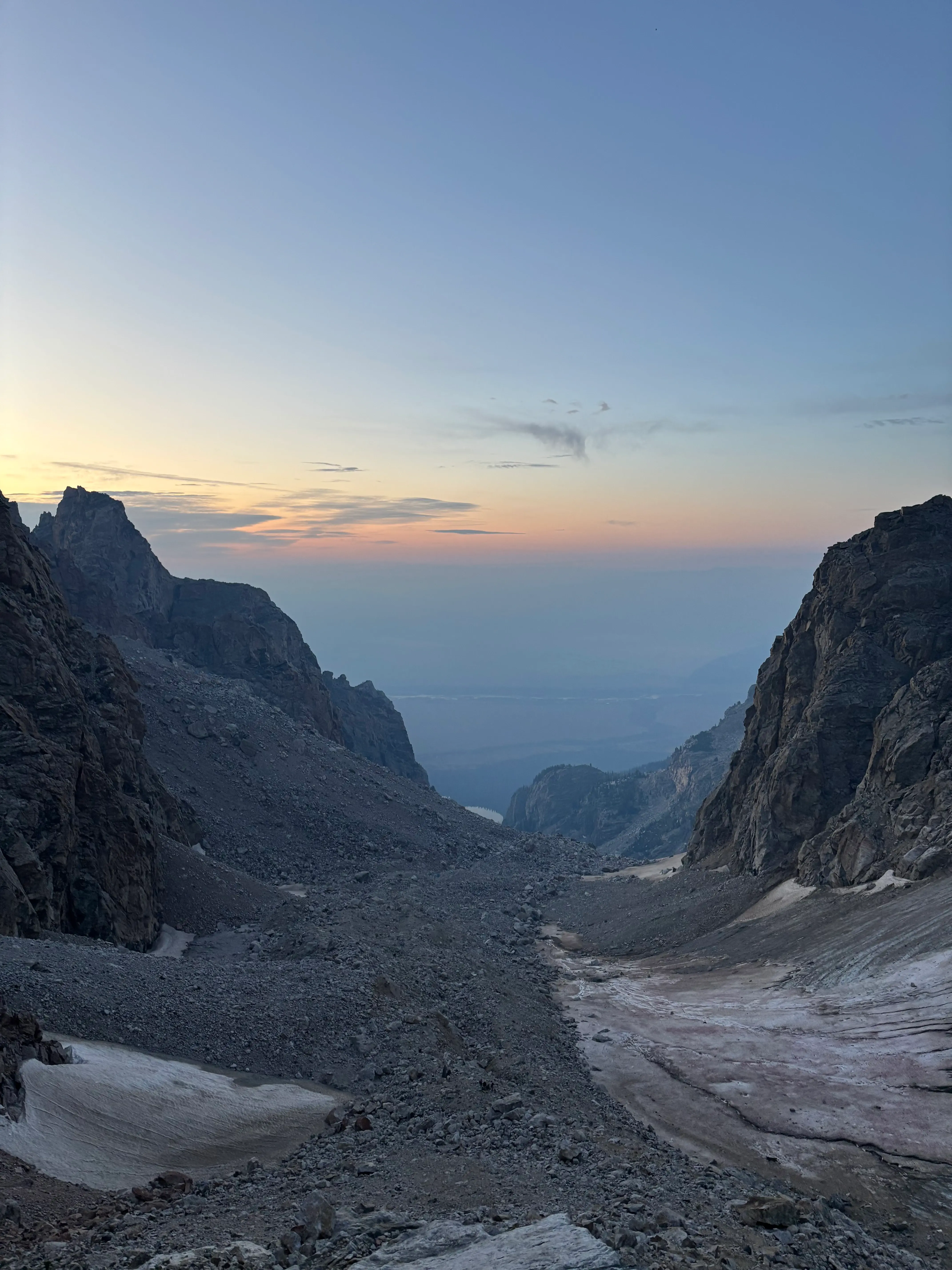
The lower saddle is home to an established camp maintained by the Exum Mountain guides, which explains the guided traffic above this zone. With a stiff wind and a windbreaker being my warmest clothing layer, I quickly headed up towards the Upper Saddle which is nestled between the Grand Teton and the Enclosure (I recommend clicking the link and looking into the interesting and mysterious Enclosure briefly, the namesake rock structure indicates the presence of Indigenous peoples high on the Grand Teton, potentially thousands of years before white people).
Routefinding my way to the Upper Saddle was unideal but worked well enough. There’s probably an optimal route through the class 2-3 scree field, but I passed the guided groups and navigated alone. It’s only ~1,500 feet to the Upper Saddle, so any inefficiencies in the routefinding are relatively minor!
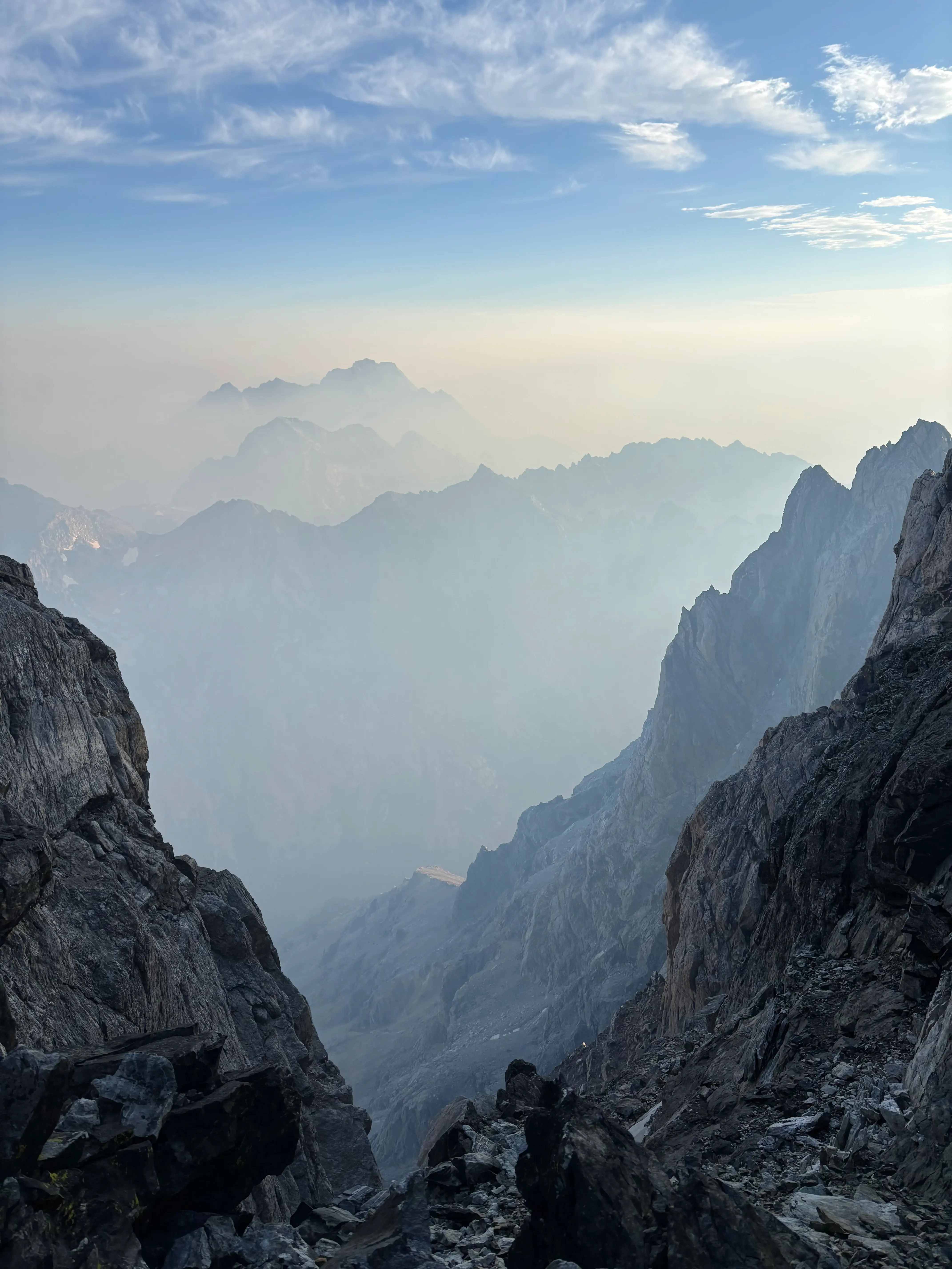
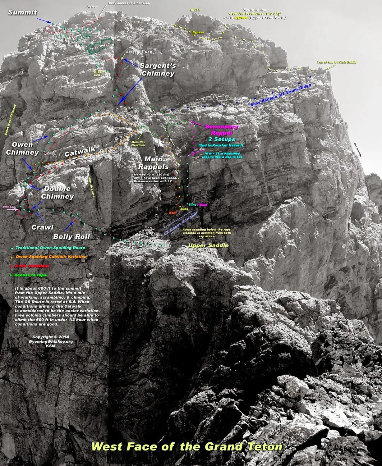
The Upper Saddle is where the Owen-Spalding truly begins, so if you’re looking to summit the Grand Teton, it is worth noting that the 5th class section is from the Upper Saddle to the Summit only (~600ft). I had not really looked at the route beforehand, other than noting it maxed out at 5.6 and taking a screenshot of a map on mountain project. As such, it was pretty slow moving, I used the map and my experience to leverage the obvious route through the West Buttress. It was made worse by a fierce wind that appeared to come from all directions at once and the aforementioned lack of clothing. However, fortunately the route was dry. From the Upper Saddle, the first notable move is this ledge called the “Belly Roll.” It is a super exposed traverse, yet has an abundance of great holds on great rock.
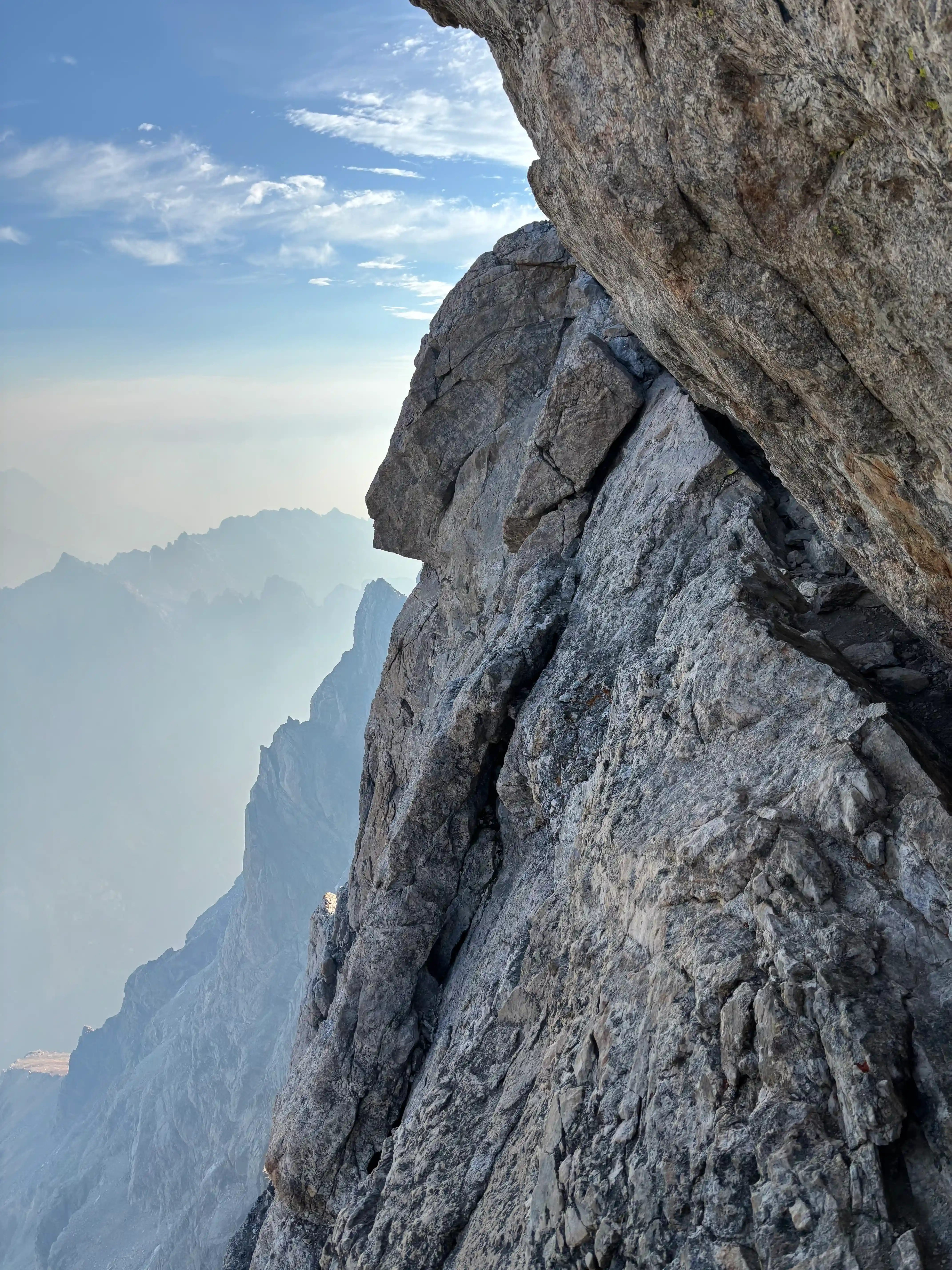
Feeling good after the Belly Roll, I encountered the more tricky “Crawl.” It gave me some pause with some slick rock (from people’s rubber-soled shoes) and the dizzying exposure. However, I got through it in under a minute and headed up the “Double Chimney.” I was feeling good with the sketchiest parts of the route under my feet. The Owen’s and Sargent’s Chimneys were fairly chill scrambles, and the Grand Teton is class three hiking from there.
Once I reached the summit, I was greeted with a few guided parties and some incredible views, in spite of the fire smoke that had rolled in the night before. I enjoyed some M&Ms at the top before heading down—with the goal of being in the route before the other people who were coming down after climbing the Exum ridge.
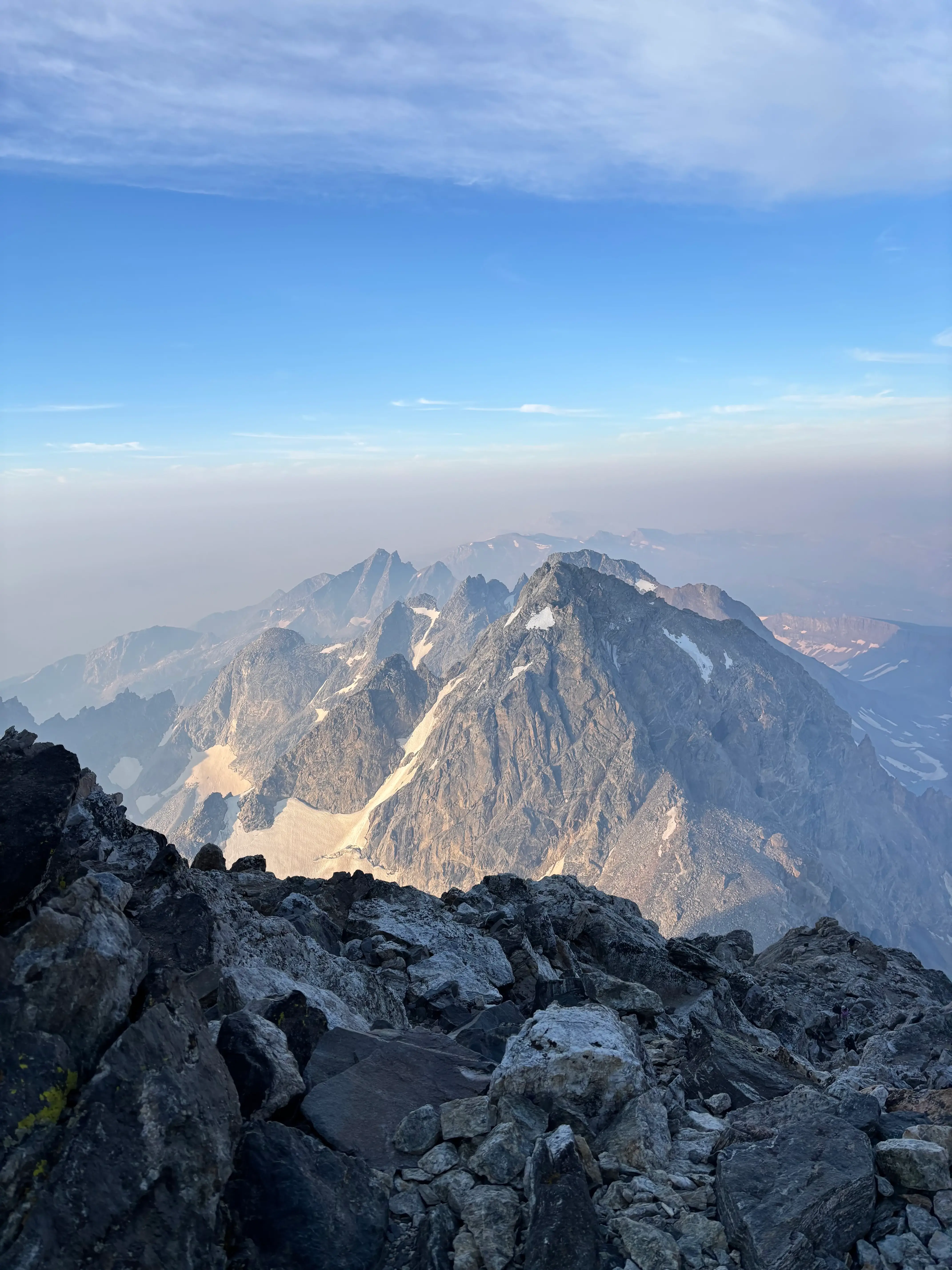
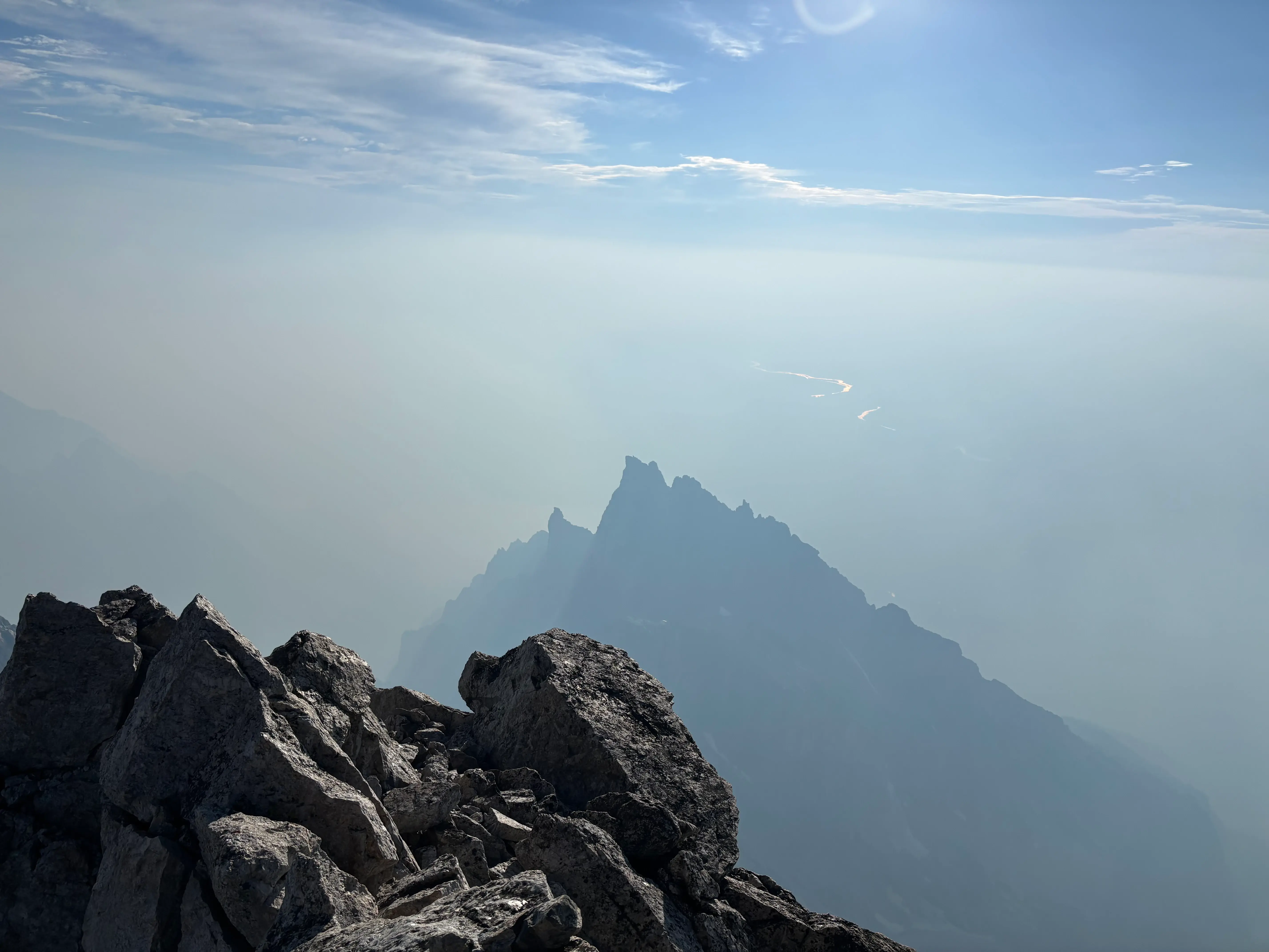
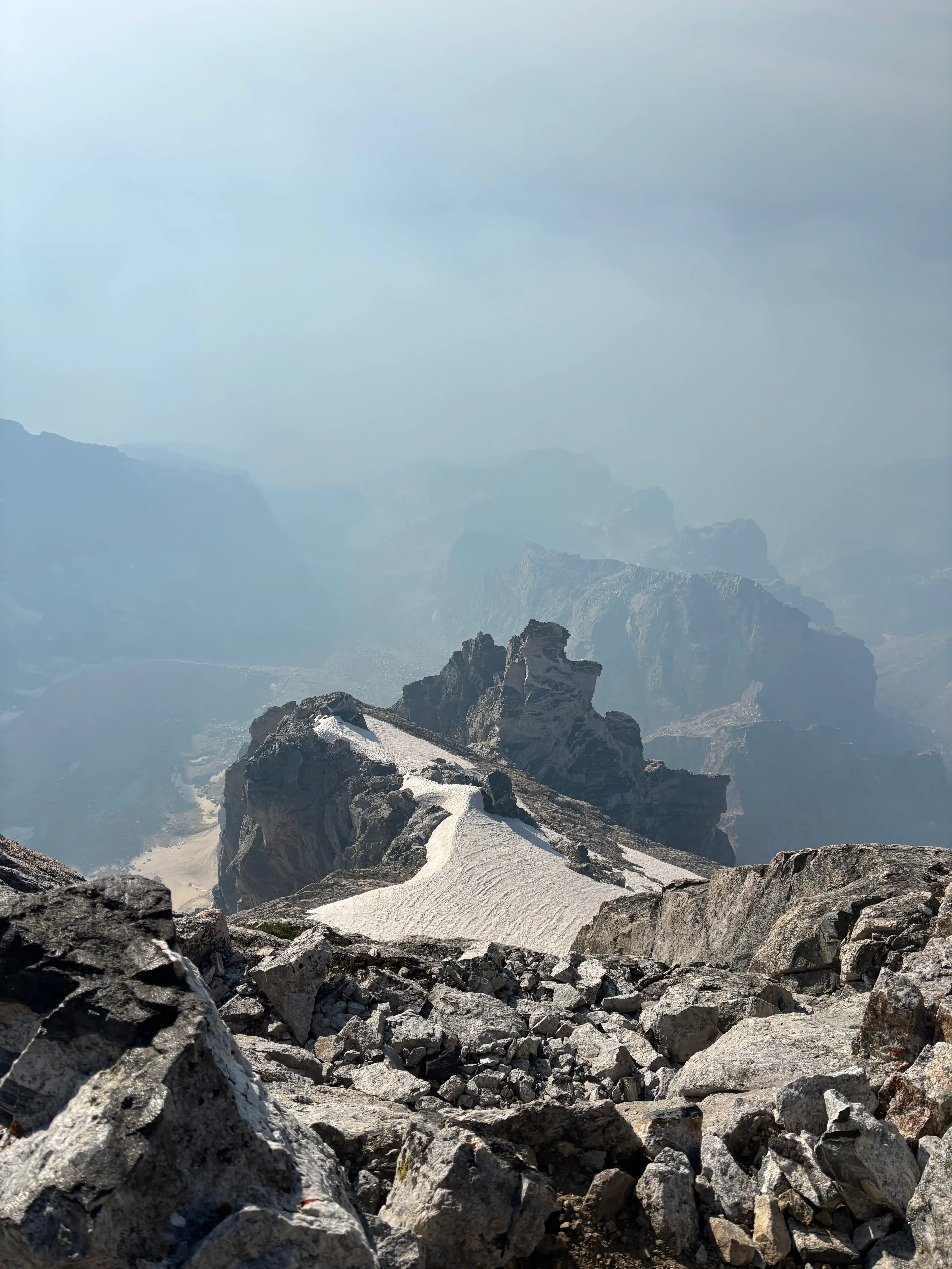
The descent was certainly more sketchy than the ascent, and I struggled a bit with both chimneys. However, I made it back to the lower saddle in twenty minutes, so fortunately I was able to make the descent work without aid, despite feeling slightly uneasy.
I noticed The Enclosure from the Upper Saddle and decided to check out the mystical rock formation at the summit. It was crazy to think about indigenous people fasting or holding ceremonies on the Enclosure, particularly considering that Garnet Canyon was likely moderately glaciated at that time. I enjoyed my time on the Enclosure, before the painful (on tired legs) loose and technical descent to the Lower Saddle. I got some messages from Wes saying he bailed on his 5.9 route and took a nap near the Teepe Pillar instead, which provided some relief—I was guessing he was in the middle of free soloing some insane part of the Grand at that time.
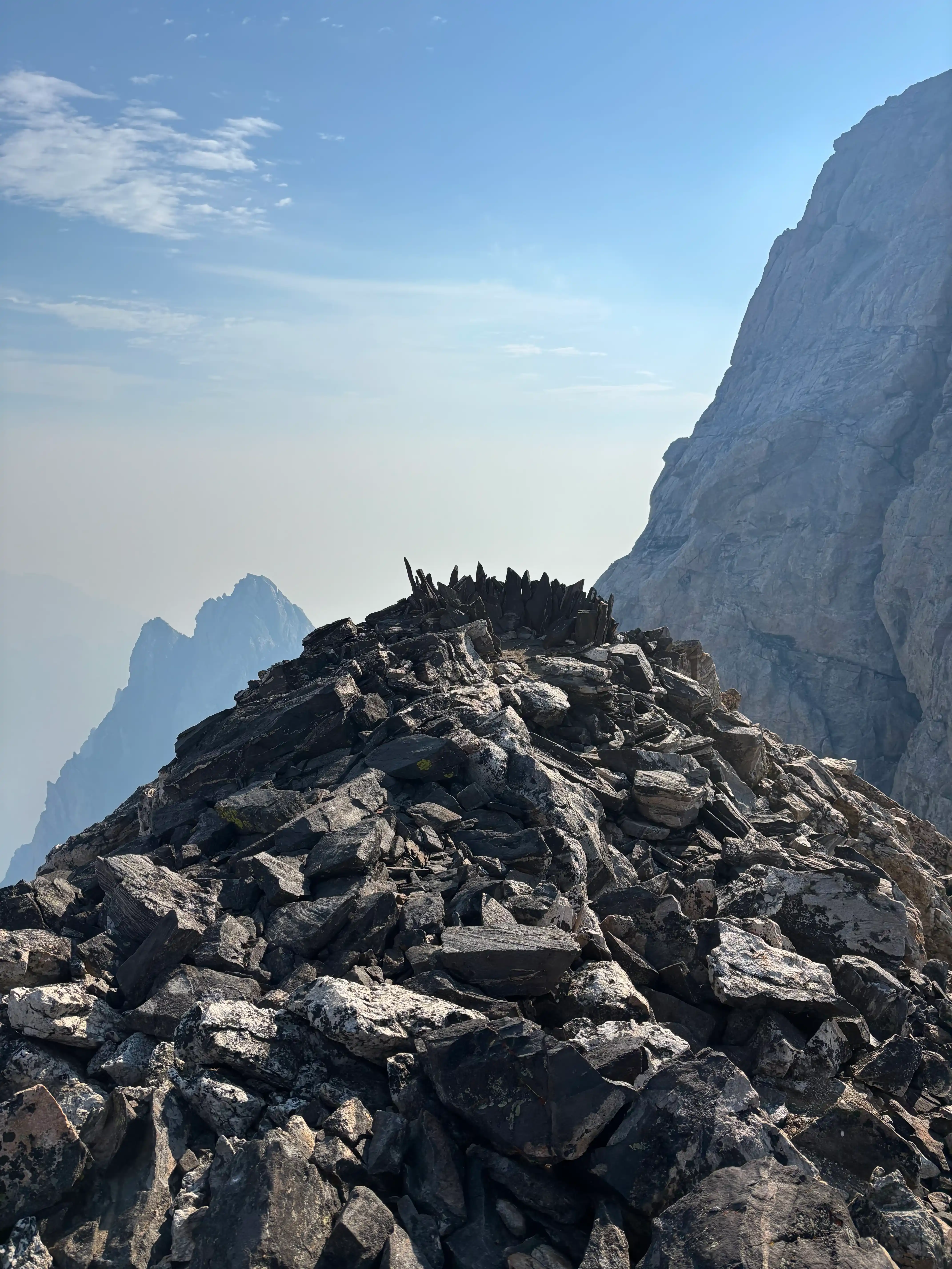
After refilling my water, I did my best to run down back to the Lupine Meadows trailhead, where Tooley picked me up for the 4 hour drive home to Utah.
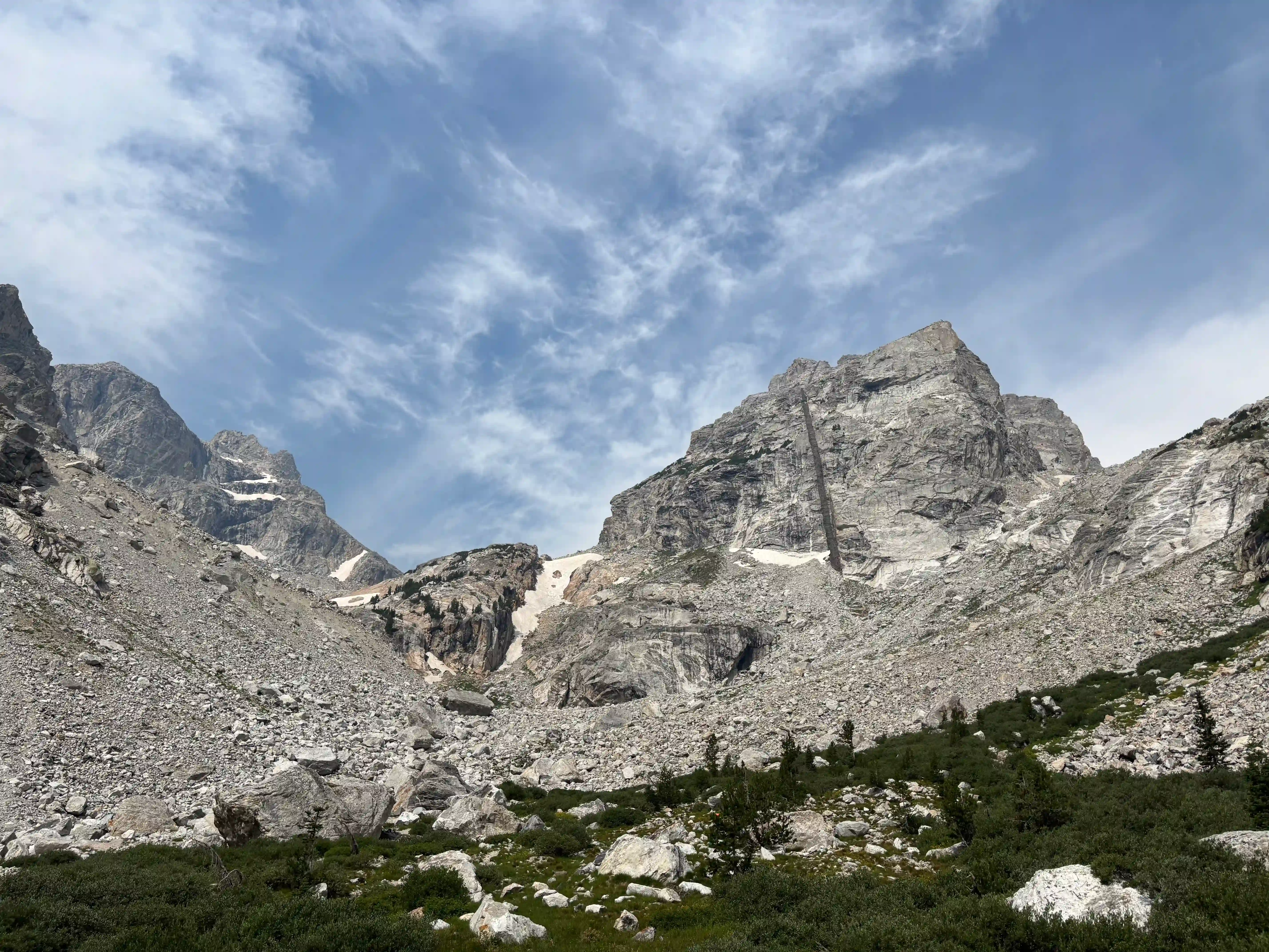
If you ask me, it was a nice weekend.
Enjoy Reading This Article?
Here are some more articles you might like to read next: